|
|
|
|


This page is sponsored by the East Texas Genealogical Society
|
|
|
|
This page is sponsored by the East Texas Genealogical Society
| No pictures are available yet. |
Lawrence Cemetery
(African-American)
AKA "Lorance Cemetery (A.A.)"
SE-50
USGS GNIS Coordinates: Latitude: 322057N Longitude: 0950721W
by
.
| No pictures are available yet. |
Lee
Springs Cemetery
(African-American)
SW-22
by
.
| No pictures are available yet. |
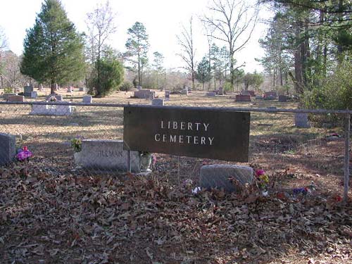
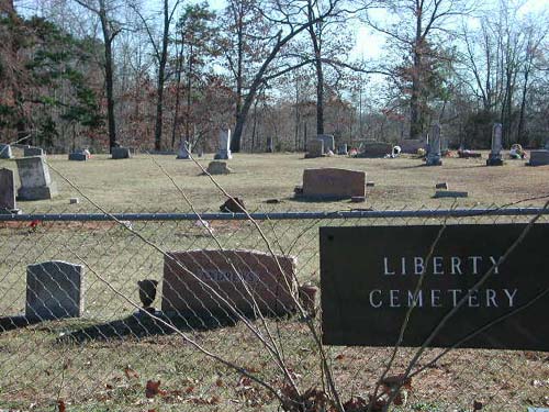
Liberty
Cemetery
(African-American)
Sinclair City Community, TX
SE-51
Latitude: N 32:11:47.3
Longitude: W 095:04:51.2
From Tyler take Hwy64 to Arp, turn right (south) on Hwy135 thru Arp toward
Troup. Liberty Cemetery is just south of the Sinclair City Community on the left
behind the Liberty Baptist Church. This church is near the intersection of
Hwy135 and CR2153.
by
Lawrence E. Oliver
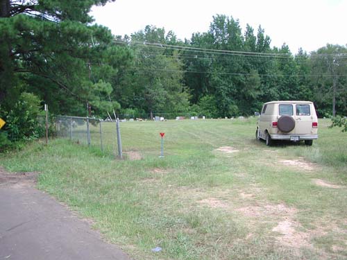
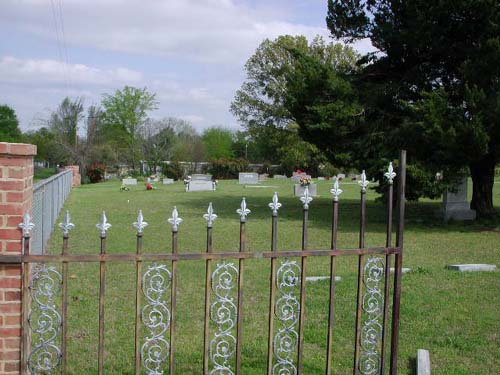
Liberty North Addition Cemetery (A.A.) in extreme background |
Liberty
Hill Cemetery
Tyler, TX
NE-33
Latitude: N 32:21:15.8
Longitude: W 095:15:33.9
From Tyler, go to Loop 323 NNE and take CR2201 (E. Erwin Street) and go east 1/2
mile. The cemetery is on the left side of the road (north side). It is located
at the intersection of CR2201 and FM2767 (Old Kilgore Road). It is across the
road from the road from the Liberty Hill United Methodist Church.
| Click to Enter Cemetery |
Liberty
Hill Memorial Gardens Cemetery
Tyler, TX
NE-34
Latitude: N 32:21:13.8
Longitude: W 095:15:39.0
From Tyler, go to Loop 323 NNE and take CR2201 (E. Erwin Street) and go east 1/4
mile. The cemetery is on the left side of the road (north side). It is located
just short of the intersection of CR2201 and FM2767 (Old Kilgore Road). It is
located adjacent to and just west of the Liberty Hill Cemetery. They share a
four foot high chain-link fence between them.
This cemetery has no sign or fence along the road.
by
Lawrence E. Oliver
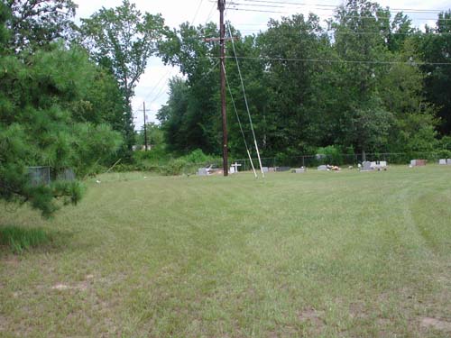
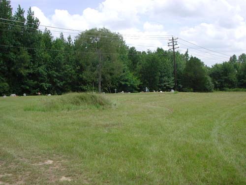
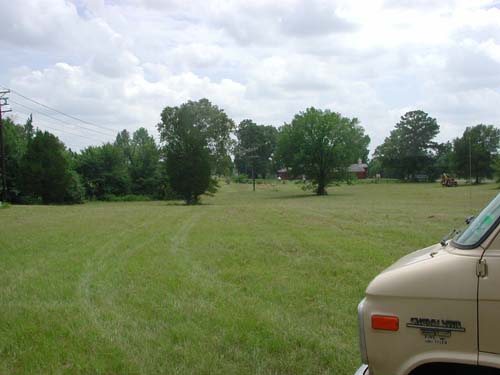
| View left from center drive | View left center from center drive | View center from center drive |
| View right center from center drive |
View right from center drive Liberty Hill Cemetery in background |
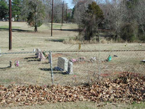
Liberty North Addition
Cemetery
(African-American)
Sinclair City Community, TX
SE-57
Latitude: N 32:11:53.9
Longitude: W 095:04:49.5
From Tyler take Hwy64 to Arp, turn right (south) on Hwy135 thru Arp toward
Troup. Liberty North Addition Cemetery is just south of the Sinclair City
Community. Proceed to the intersection of Hwy135 and CR2112. This cemetery is on
the southeast corner of the intersection.
by
Lawrence E. Oliver
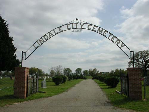
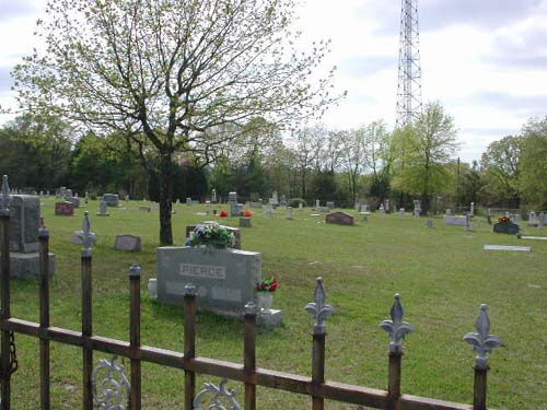
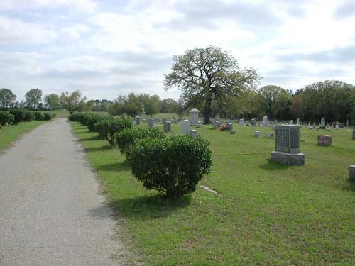
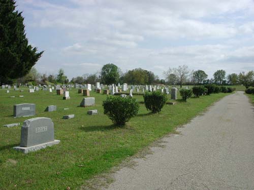
Lindale City Cemetery
Lindale, TX
NW-06
Latitude: N 32:30:47.5
Longitude: W 095:25:15.3
This cemetery is just west of the city limits of Lindale, Texas, on CR467.
Established 1888 - John A. Mathias sold one acre to T. J. Oden, W. P.
Cannon, and J. M. Starnes as trustees for the cemetery in 1889.
by
Lawrence E. Oliver
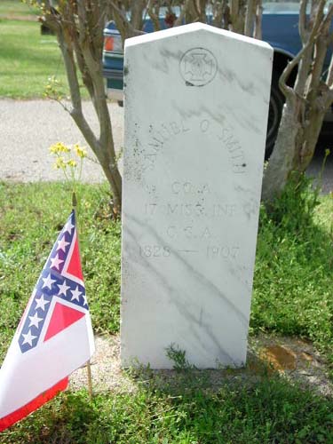
Confederate Marker Company A, 17th Miss. Inf., C.S.A. 1828-1907 |
|
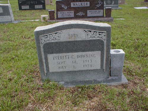
Everett Clayton Downing September 14, 1913 - Died July 1. 1978 "PAPA" |
Loftin Cemetery
AKA "Teaselville Cemetery"
AKA "Old White Settlement Cemetery"
SW-30
USGS GNIS Coordinates: Latitude: 320856N Longitude: 0952421W
On land bought by Jeremiah W. Loftin in 1860, heired by his son William Pitt Loftin in 1864, then heired by his daughter Anna Maria Loftin (married Hezekiah Witcher) in 1892.
| Click to Enter |
| No pictures are available yet. |
Lukenbill Cemetery
AKA "Old Union Cemetery"
NW-21
by
.
| No pictures are available yet. |
Marshall Cemetery
NE-57
USGS GNIS Coordinates: Latitude: 323136N Longitude: 0951516W
by
.
| No pictures are available yet. |
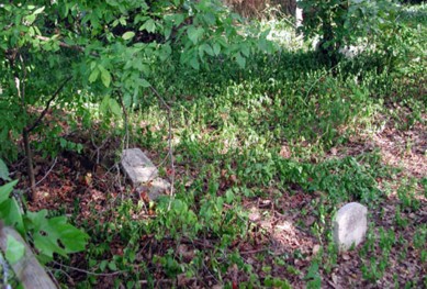
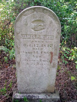
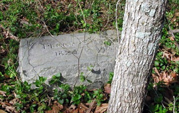
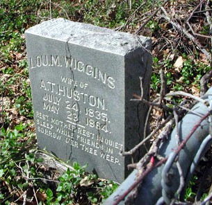
Marsh Cemetery
AKA "Marsh-Wiggins Cemetery"
NE-10
USGS GNIS Coordinates: Latitude: 322810N Longitude: 0951212W
by
Mary Love Berryman
| . |
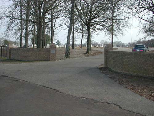
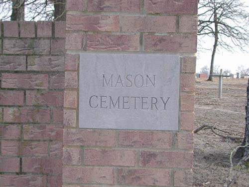
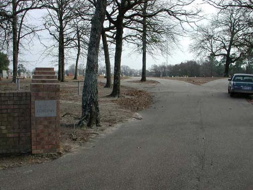
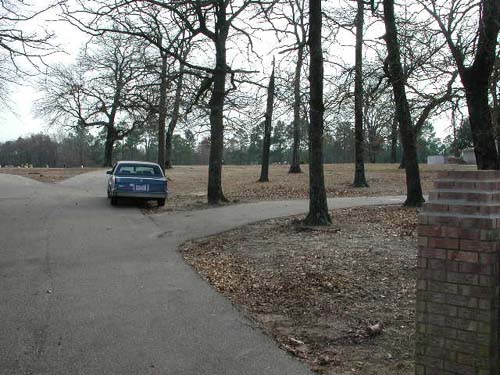
Mason Cemetery
Arp, TX
SE-46
Latitude: N 32:14:30.1
Longitude: W 095:02:31.2
This cemetery is located off Hwy64 northeast of Arp. Turn north on CR252 and
proceed about 1 mile. The cemetery is on the east side of the road.
by
Lawrence E. Oliver
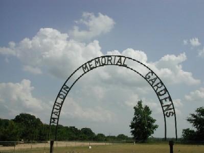
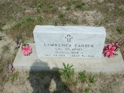
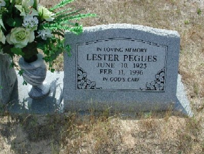
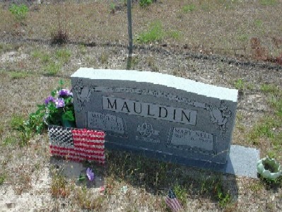
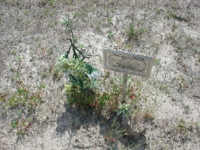
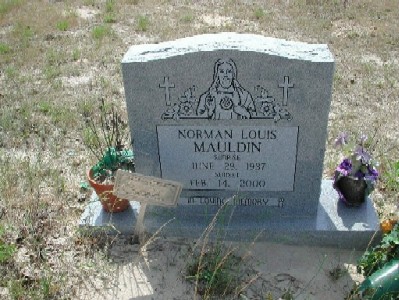
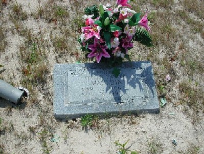
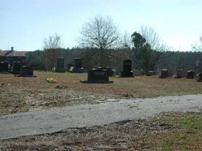
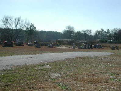
Mauldin Memorial Gardens
Cemetery
(African-American)
SE-60
Latitude: N 32:22:05.5
Longitude: W 095:04:37.2
This cemetery is located on Texas Highway 31 East of Tyler. It is on the
south side of Hwy. 31 approximately 100 yards east of the intersection of Hwy 31
and Smith County Road 236 (Mauldin Road). The cemetery rows run north-south and
all present graves face east. Graves are presently clustered in 4 groups.
Note: JRH Funeral Marker is from the John R. Harmon Undertaking
Co., Tyler-Daingerfield, Texas, (903) 533-8341
by
Lawrence E. Oliver
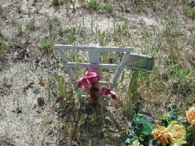
1930-1995 - Funeral Home Marker |
Cpl US Army World War II Dec 24 1913-May 1998 |
|
1923-1996 |
1932-1999 |
|
1999-1999 - Funeral Home Marker |
1937-2000 |
1906-1994 |
| No pictures are available yet. |
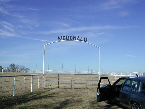
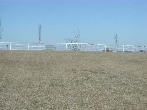
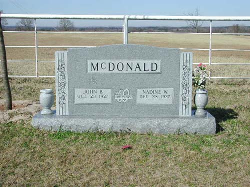
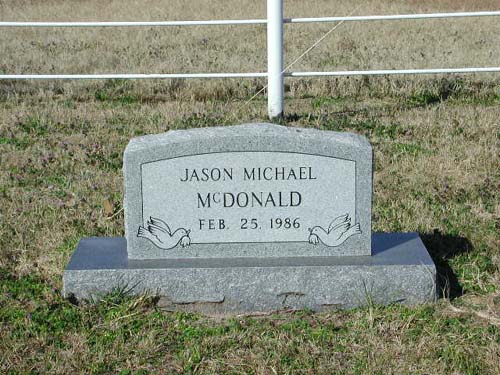
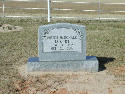
McDonald Cemetery
Omen, TX
SE-62
Latitude: N 32:11:34.1
Longitude: W 095:07:33.2
This cemetery is located southwest of the city of Arp, Texas, on FM345. It is
2.2 miles southwest of Omen, and is entirely fenced with metal pipe rod fencing.
The cemetery rows run in a generally north-south direction and all present
graves face east. Graves are presently clustered in 1 row of three tombstones at
back of cemetery.
by
Lawrence E. Oliver
tombstone only, no internments |
||
Feb 25, 1986 - Feb 25, 1986 |
June 9, 1913 - Oct 28, 2002 |
McDougal Cemetery
NE-16
USGS GNIS Coordinates: Latitude: 322524N Longitude: 0951316W
by
.
| No pictures are available yet. |
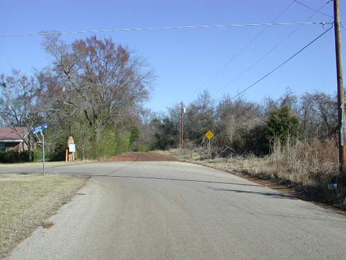
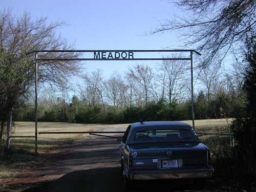
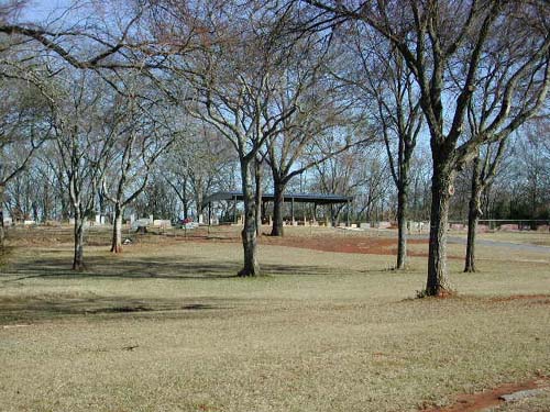
Meador Cemetery
SE-11
Latitude: N 32:17:00.2
Longitude: W 095:14:16.7
From Tyler, take Hwy 110 south, go 2.2 miles south of Loop 323, then turn
left (east) on CR2121 and go to the intersection with CR2214. At this
intersection continue straight onto the dirt road. The cemetery is at the end of
the dirt road.
by
Lawrence E. Oliver
(CR 2121) |
Cemetery up hill from entrance gate |
Mechanicsville
Cemetery
AKA "Bauman-Robbs Cemetery"
NW-33
by
.
| No pictures are available yet. |
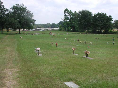
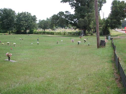
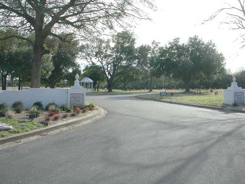
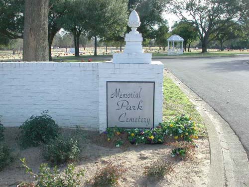
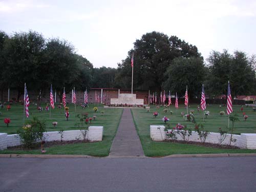
Memorial Park Cemetery
Tyler, TX
SW-03
Latitude: N 32:21:29.6
Longitude: W 095:22:04.1
This cemetery is on Hwy64 west of Tyler, Texas. It is approximately half way
between the intersection of Hwy64W and Loop323 and the Tyler Pounds Airport.
This is about 1 mile outside the Tyler city limits on Hwy64W. The cemetery is on
the south side of the road.
by
Lawrence E. Oliver
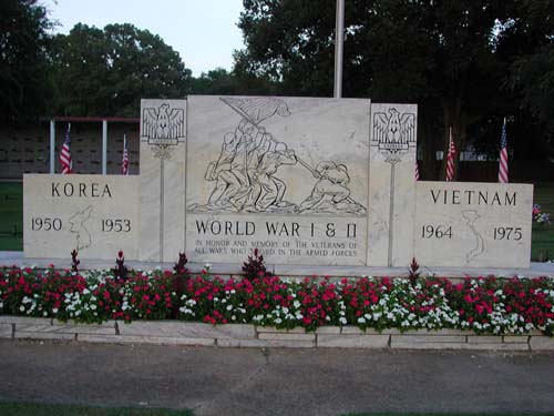
|
Field of Honors Memorial |
||
|
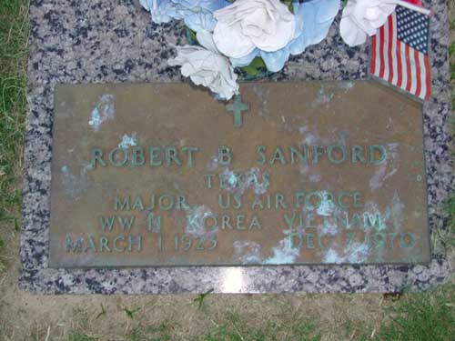
Robert B. Sanford Texas Major US Air Force WWII Korea Vietnam Mar 1 1925-Dec 7 1970 |
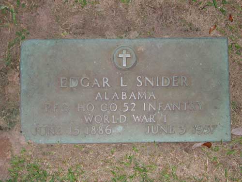
Edgar L Snider Alabama Pfc Hq Co 52 Infantry World War I June 15 1886-June 3 1957 |
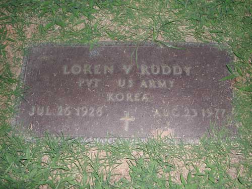
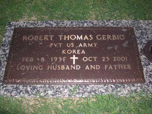
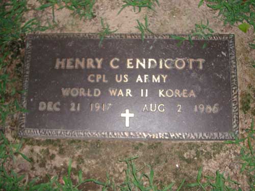
Close-up Field of Honors Memorial |
|
Loren V Ruddy Pvt US Army Korea Jul 26 1928-Aug 23 1977 |
Robert Thomas Gerbig Pvt US Army Korea Feb 8 1931-Oct 23 2001 "Loving Husband and Father" |
Henry C Endicott Cpl US Army World War II Korea Dec 21 1917-Aug 2 1986 |
|
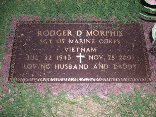
Roger D Morphis Sgt US Marine Corps Vietnam Jul 22 1945-Nov 28 2003 "Loving Husband and Daddy" |
by
Olin Hartley
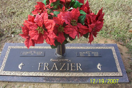
| James & Norma Frazier |
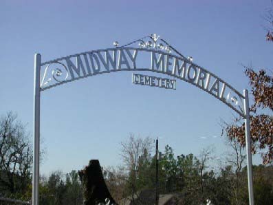
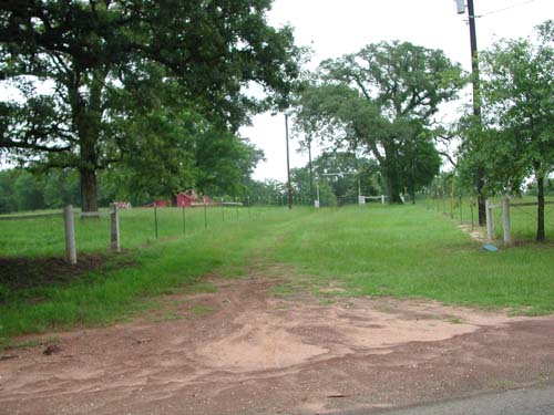
Midway Memorial Cemetery
Midway Community (South), TX
SW-10
Latitude: N 32:17:31.8
Longitude: W 095:21:13.2
Take State Road 155 southwest from Tyler, Texas, to the intersection of
CR1113. Turn right (west) on CR1113 and proceed to intersection of CR 1115, on
the left side (south side) of the road is the cemetery.
A private cemetery located on land purchased by S. B. Dingler in 1912.
by
Lawrence E. Oliver
| No pictures are available yet. |
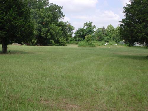
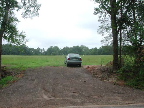
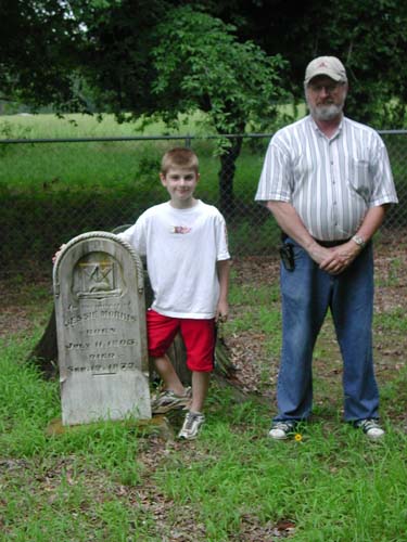
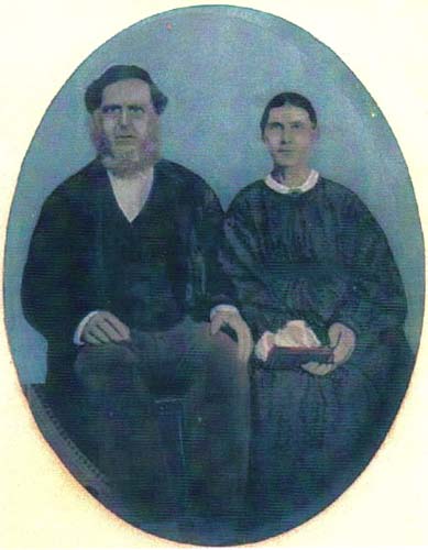
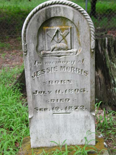
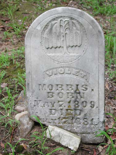
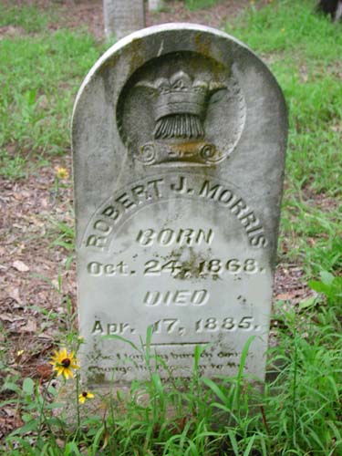
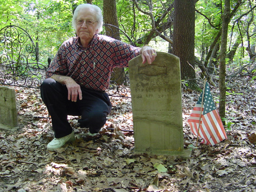
This cemetery is located on land bought by Jessie Morris in 1855.
by
Lawrence E. Oliver
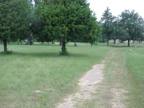
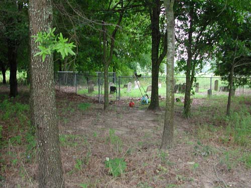
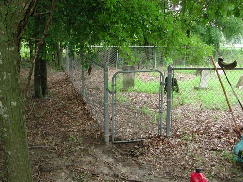
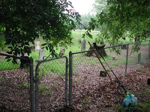
| Drive to Red Barn | Drive through Pasture | View from pasture wood line |
| Gate and left half of cemetery | Gate and right half of cemetery | William Morris and his grandson William Cody Morris at the tombstone of Jessie Morris his great-great-granduncle |
|
Photo Jessie & Violet Morris Provided by Jean Holman G-g-granddaughter of Violet |
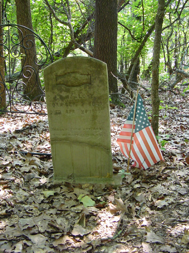
Jessie Morris July 11, 1805 - Sep. 19, 1873 |
Violet Morris May 7, 1809 - July 17, 1881 |
|
Robert J. Morris Oct 24, 1868 - Apr. 17, 1885 |
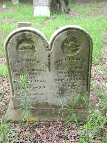
Jessie P. & William A. Morris Sons of W. E. & N. E. Morris Feb. 23, 1872 - Jan 13, 1875 & Sep. 15, 1873 - Oct 2, 1875 |
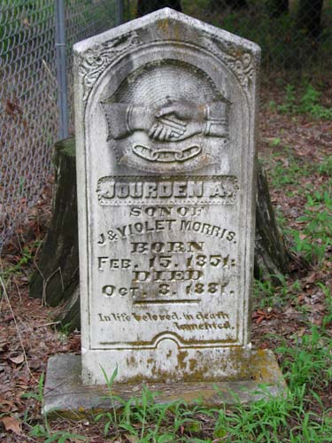
Jourden A. Morris Feb. 17, 1851 - Oct 3, 1881 Son of J & Violet Morris |
|
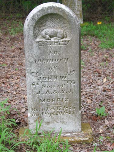
John W. Morris Feb 17 1875 - Sept 20 1877 Son of J. A. & S. J. Morris |
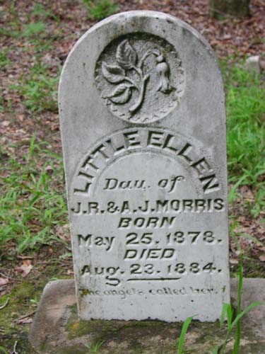
Little Ellen Morris May 25, 1878 - Aug. 23, 1884 Daughter of J. R. & A. J. Morris |
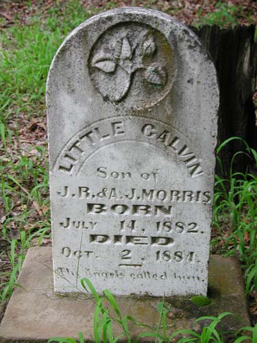
Little Calvin Morris July 14, 1882 - Oct. 2, 1884 Son of J. R. & A. J. Morris |
|
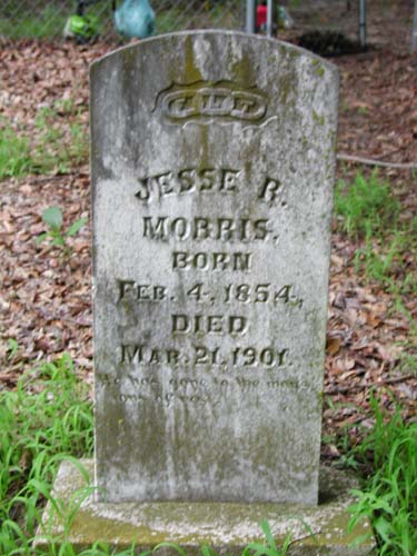
Jesse R. Morris Feb 4, 1854 - Mar. 21, 1901 |
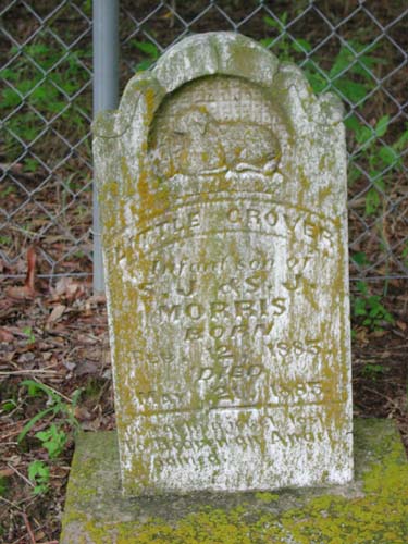
Little Grover Morris Feb. 12, 1885 - May 21, 1885 Infant son of S. J. & S. J. Morris |
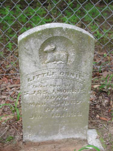
Little Onnie Morris Mar. 25, 1887 - Jul. 10, 1888 Infant son of S. J. & S. J. Morris |
Mt.
Olive Cemetery
(African-American)
NE-09
by
.
| No pictures are available yet. |
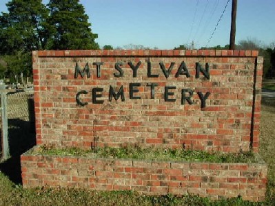
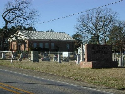
Mt. Sylvan Cemetery
Mt. Sylvan, TX
NW-01
Latitude: N 32:27:23.9
Longitude: W 095:27:51.8
From Tyler, Texas, take Hwy 110 to the northwest and follow it to the small
community of Mt. Sylvan, Texas. The cemetery is on the north side of Hwy 110
inside Mt. Sylvan.
It is on land sold by Felix Miller to Mount Sylvan School in 1867, then
deeded to Mount Sylvan Methodist Episcopal Church, South in 1886.
by
Lawrence E. Oliver
& Mt. Sylvan Methodist Church |
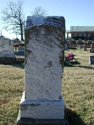
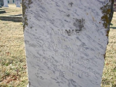
wife of G. W. Lane 4 Dec 1859 - 19 Mar 1912 |
|
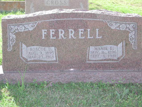
9 Aug 1895 - 23 Mary 1968 |
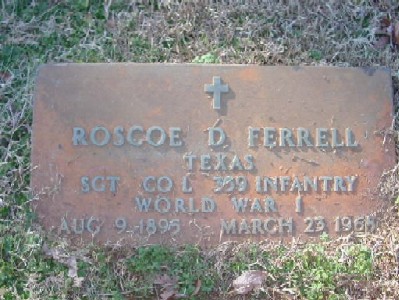
Texas Sgt Co L 359 Infantry World War I Aug 9 1895-Mar 23 1968 |
|
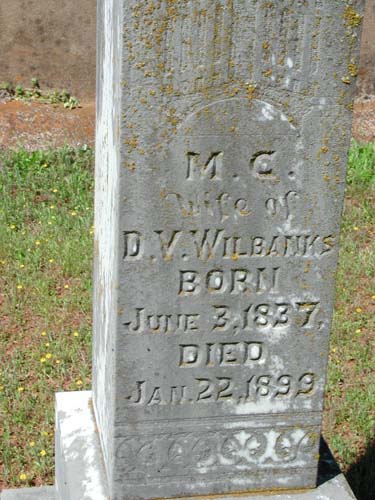
Wife of David V. Wilbanks June 3 1837-Jan 22 1899 |
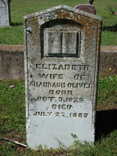
Oct 5, 1823 - July 27, 1889 |
Mt. Zion (Southeast)
Cemetery
SE-10
Latitude: N 32:12:30.9
Longitude: W 095:18:21.4
From Tyler, Texas, go South on US69 to FM346 East. Travel FM346 East for
about 1/2 mile, to intersection with CR122. Just beyond the intersection is the
Mt. Zion Baptist Church on the left. On the right side (south side) of the road,
you will want to take an immediate right to go into the cemetery. It is about 50
yards off the road.
| Click to Enter Cemetery |
Mt
Zion Cemetery
(African-American)
NE-49
by
.
| No pictures are available yet. |
| No pictures are available yet. |
Myrtle
Springs (Mallory) Cemetery
AKA "Old Myrtle Springs (Mallory) Cemetery"
NE-22
Latitude:
Longitude:
East of Lindale on FM 16 1 1/2 miles; turn left on FM 2710; go 1.2 miles & turn
left on oil topped road. Go 1/2 mile. Cemetery is off in woods to the right.
by
Randy Mallory
|
Thomas E. Mallory at tombstone of Grandfather J. H. Mallory |
J.
H. Mallory 7 Sep 1824 - 24 Apr 1877 |
| Cemetery Listings: Main Page |
| Cemetery Listings: A - C |
| Cemetery Listings: D - G |
| Cemetery Listings: H - K |
| Cemetery Listings: L - M |
| Cemetery Listings: N - R |
| Cemetery Listings: S |
| Cemetery Listings: T - Z |
![]()
![]()
Copyright ©
2005 - 2009
East Texas Genealogical Society and the Individual Contributors