|
|
|
|


This page is sponsored by the East Texas Genealogical Society
|
|
|
|
This page is sponsored by the East Texas Genealogical Society
| No pictures are available yet. |
St.
Louis (Old) Cemetery
(African-American)
AKA "Old St. Louis Cemetery (A.A.)"
SW-11
by
.
| No pictures are available yet. |
St.
Louis Cemetery
(African-American)
SW-12
by
.
| No pictures are available yet. |
St.
Mary's Cemetery
(African-American)
NW-45
by
.
| No pictures are available yet. |
St.
Viola Cemetery
(African-American)
AKA "St. Violet's Cemetery"
NE-44
USGS GNIS Coordinates: Latitude: 322227N Longitude: 0950940W
by
.
| No pictures are available yet. |
Salem
Cemetery
AKA "Salem Memorial Cemetery"
SE-37
USGS GNIS Coordinates: Latitude: 321144N Longitude: 0950040W
by
Cheryl Crump
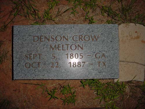
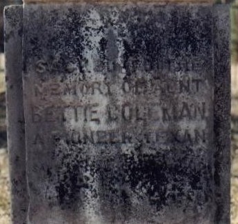
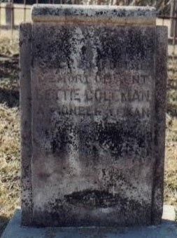
Sept. 5, 1805 - GA Oct. 22, 1887 - TX |
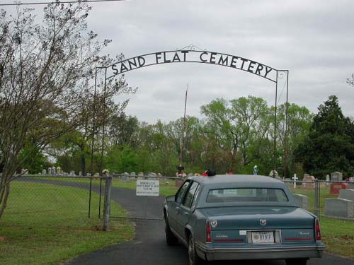
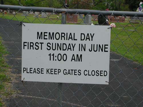
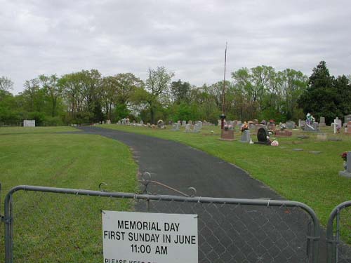
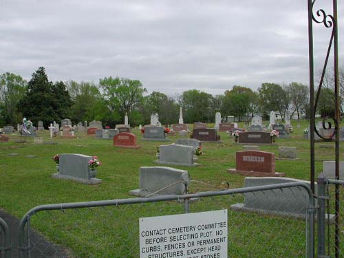
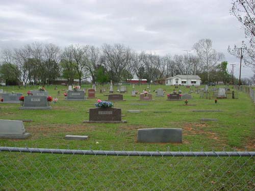
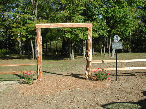
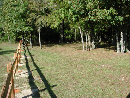
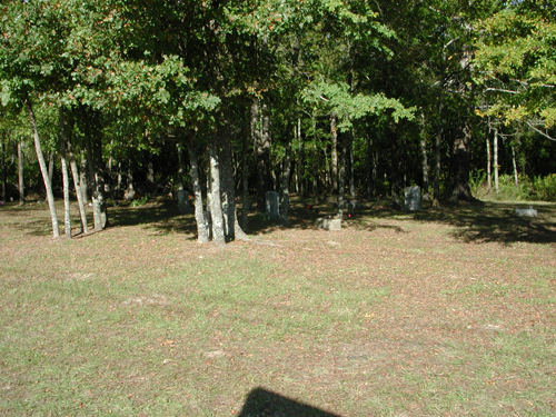
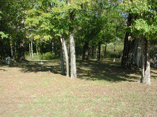
Sand
Flat
Cemetery
AKA "Sand Flat (Antioch) Cemetery"
Sand Flat Community, TX
NW-43
Latitude: N 32:29:19.6
Longitude: W 095:16:59.7
From Tyler, take Hwy 14 North (State Park Hwy). At the intersection of Hwy 14 &
FM 313 (Sand Flat road), turn left (west) and proceed about 1/2 mile and the
cemetery is on the right side (north) of the road.
by
Lawrence E. Oliver
| Entrance Gate and Sign | Information Sign | View 1 - Center |
| View 2 - Right | View 3 - Extreme Right |
|
Sand Flat Cemetery |
Sand
Springs Cemetery
NW-41
by
.
| No pictures are available yet. |
Sanford/Oakdale Cemetery
NE-28
by
.
| No pictures are available yet. |
| No pictures are available yet. |
| No pictures are available yet. |
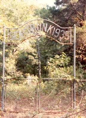
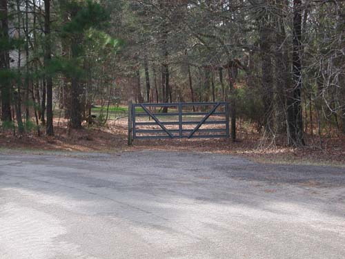
Seastrunk Cemetery
NE-23
USGS GNIS Coordinates:
Latitude: 322528N
Longitude: 0950744W
Seastrunk Cemetery is located one mile south of Interstate 20 on Farm to
Market Road 757 near Starrville Texas. It is on private property owned by a
Doctor. It is nestled in a small stand of pine trees at the edge of a small
lake. It is enclosed by a chain link fence with an archway and gate. The archway
has the name Seastrunk 1935 on it. The archway was erected by Penelope (Nellie)
Speer Seastrunk. Her husband was John Obediah Seastrunk DDS.
by
(bw)
Bill Wallace
| Entrance Gate to Cemetery |
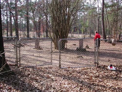
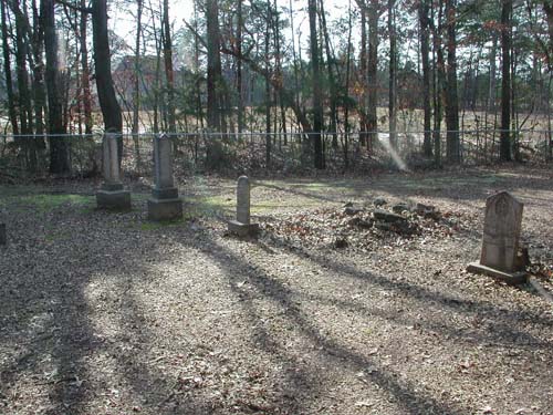
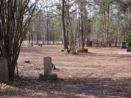
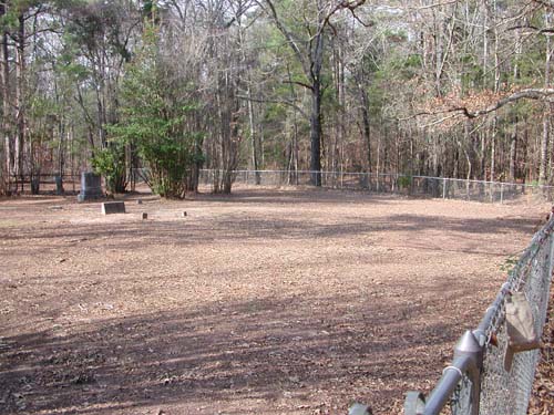
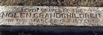
Seven
Leagues Cemetery
Noonday, TX
SW-07
Latitude: N 32:15:14.6
Longitude: W 095:25:33.3
From Tyler, take Hwy155 southwest until you come to CR196 and turn right
(west). Follow CR196 (goes west and then curves south) until intersection with
CR198 and turn right (west). Continue west until you dead-end into CR1100 and
turn right (north). Go to intersection with "7 League" road and turn
left (west). Follow the road until it begins to turn left (south) and at that
bend there will be an aluminum farm gate. Go through the gate for about 50 yards
and you will be at the cemetery entrance gate. The cemetery is behind the house
at 15592 '7 League Road'. The cemetery is surrounded by a chain link fence.
To look at this cemetery you would assume that it that it is not full, but
according to local people the open areas at one time had wooden and red rock
markers. Due to time and vandalizing only a few red rock markers are left.
by
Lawrence E. Oliver
by
Rex Kirby
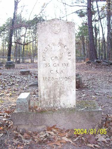
|
Robert R. McCrary Co. F 55 Ga. Inf. CSA 1828-1906 |
| No pictures are available yet. |
Shady
Grove Cemetery
(African-American)
NE-06
USGS GNIS Coordinates: Latitude: 322700N Longitude: 0951625W
by
.
| No pictures are available yet. |
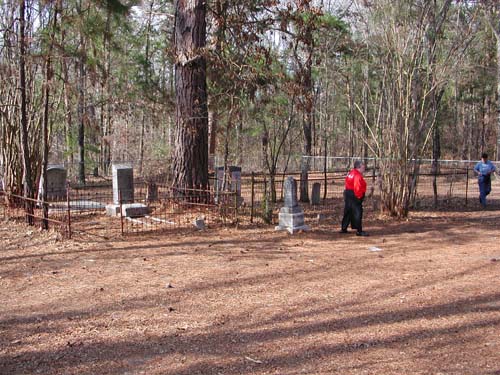
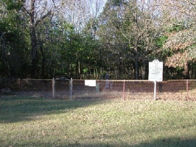
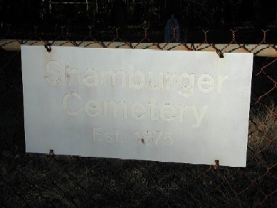
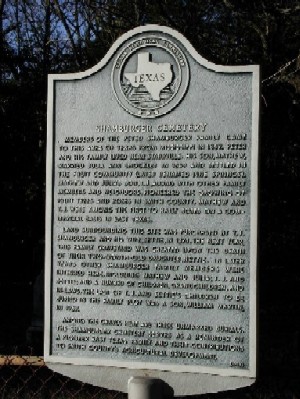
Shamburger
Cemetery
NE-08
Latitude: N 32:25:36.5
Longitude: W 095:16:01.4
Take US271 northeast from Tyler, Texas, to CR334 and turn left (north).
Follow CR334 to the intersection of CR329 (Ford Road). Continue one-half mile on
CR334 and the cemetery is on the left (west) side and about 50 feet off the
road.
Located across the road from the old Shamburger home place. Cemetery was
established in 1875.
by
Lawrence E. Oliver
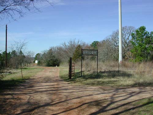
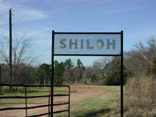
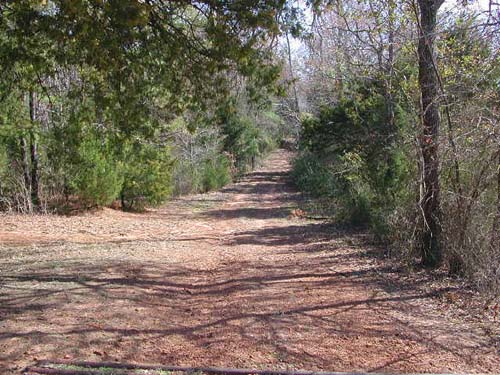
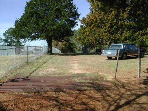
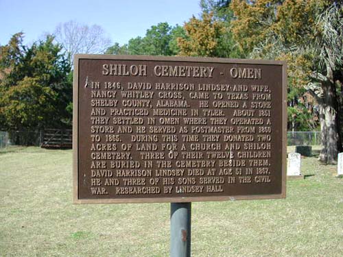
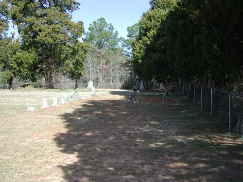
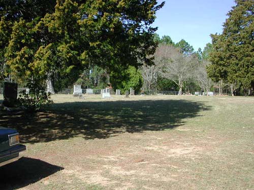
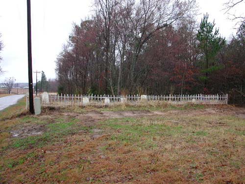
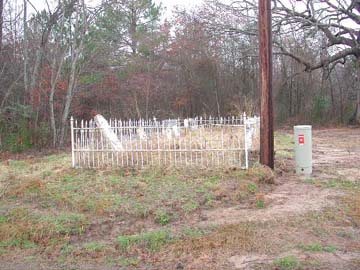
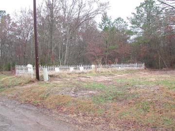
Shiloh
Cemetery
Omen, TX
SE-21
Latitude: N 32:13:03.9
Longitude: W 095:06:49.4
This cemetery is located in the community of Omen, southeast of Tyler. From
Tyler, take Hwy 64 east to CR230. Turn right (south) and proceed towards Omen.
In Omen, turn right on CR285 and and go west. About a quarter of a mile the road
turns north and at that turn there is a driveway that goes straight into the
cemetery. There is a sign but you have to look carefully for it. Drive into the
driveway by the sign. After passing the sign, go straight, do not turn left into
the driveway that goes to a house. The road is very rough to the cemetery.
by
Lawrence E. Oliver
|
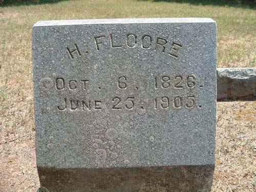
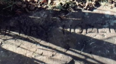
Henry Floore Oct. 6, 1826 - June 25, 1905 Private, 15th Texas Infantry Regiment, Company H |
Siloam Cemetery
(African-American)
NE-27
USGS GNIS Coordinates: Latitude: 322730N Latitude: 0950339W
by
.
| No pictures are available yet. |
Sitton
Cemetery
Thedford Community, TX
NW-16
Latitude: N 32:28:17.0
Longitude: W 095:22:37.8
This cemetery is located southeast of Lindale. Take CR431 south to about 1
mile short of I-20; turn right (west) on CR472. Cemetery is on left (south) side
about 1.5 miles.
| Click to Enter Cemetery |
Smith
(Northeast) Cemetery
NE-56
by
.
| No pictures are available yet. |
Smith
(Southeast) Cemetery
Omen, TX
SE-02
Latitude: N 32:12:35.3
Longitude: W 095:07:45.2
This cemetery is located southeast of Tyler near the OMEN Community. It is on
Old Whitehouse Road, in East Shore Estates, entirely fenced. It is 0.8 miles
west from the intersection of FM345 and CR2143.
by
Lawrence E. Oliver
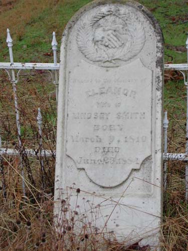
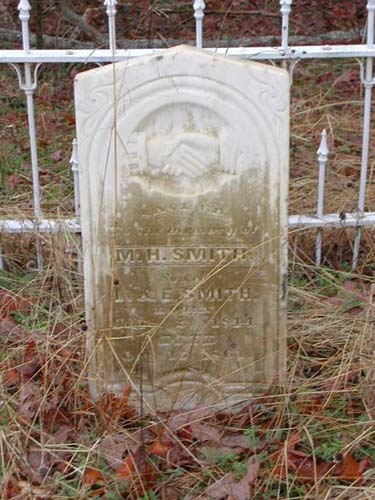
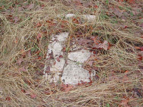
wife of Lindsey Smith 9 Mar 1810 - 23 June 1884 |
son of L. & E. Smith 30 Apr 1842 - 14 Nov 1860 |
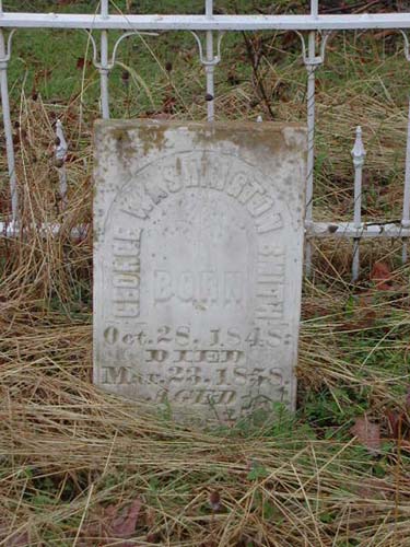
28 Oct 1848 - 23 Mar 1858 9 yr 4 mos 25 days |
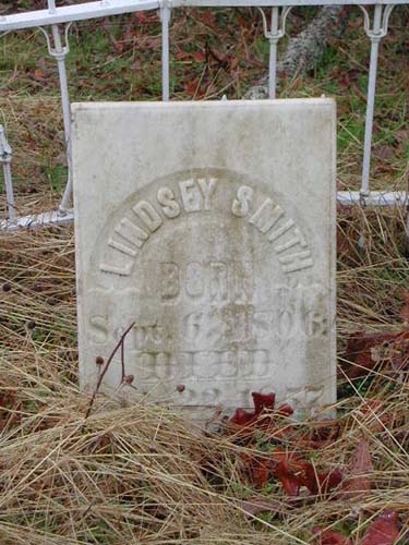
6 Sept 1806 - 22 May 1857 |
2 July 1844 - 15 Oct 1861 |
son of L. & E. Smith 2 Feb 1833 - 15 Oct 1861 - Mason |
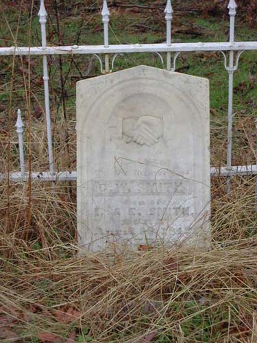
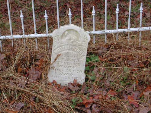
son of W.R. & M.F. Stphenson b. & d. 26 June 1870 - (Surname as spelled on marker) |
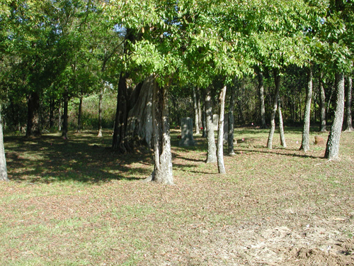
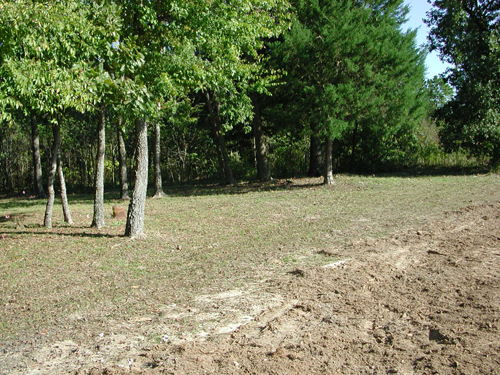
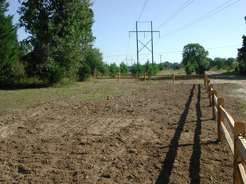
Smith
(Southwest) Cemetery
SW-17
Latitude: N 32:15:23.2
Longitude: W 095:20:04.0
This cemetery is located Southwest of Tyler. One mile north of
Gresham on Highway 2493, then east about one-half mile. It is currently located
inside the "Rose Lawn Memorial Cemetery".
From Tyler, take SSW Loop 3213 to the intersection of Old Jacksonville Road. Go
South on Old Jacksonville Road 3.5 miles to Blue Mountain Blvd & turn left
(southeast). Go 2 miles & the address is 2003 Blue Mountain Blvd. "Rose Lawn
Memorial Cemetery" is on the left of the road. Go through the cemetery gates and
proceed to the back of this cemetery and you will see the Smith (SW) Cemetery.
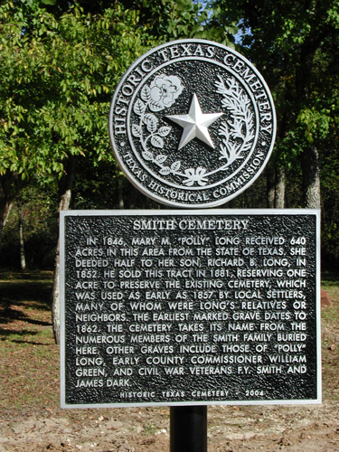
Smith Cemetery is located on land granted by the State of
Texas to Mary M. (Polly) Long in the 1840's. She deeded this land to her son,
Richard B. Long, in 1852. He sold the surrounding land in 1881, reserving one
acre for the cemetery.
by
lo -Lawrence E. Oliver
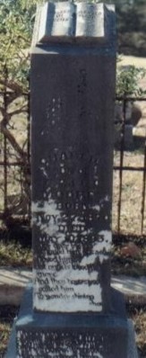
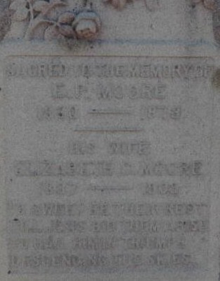
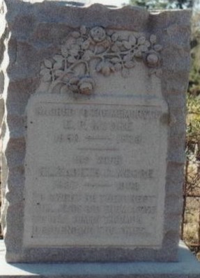
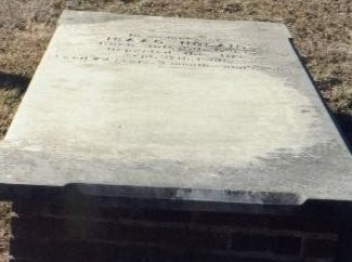
|
Memorial Marker (lo) |
Entrance Gate (lo) |
Extreme Left View From Gate (lo) |
|
Mid-Left View From Gate (lo) |
Center Left View From Gate (lo) |
Center Right View From Gate (lo) |
|
Mid-Right View From Gate (lo) |
Extreme Right View From Gate (lo) |
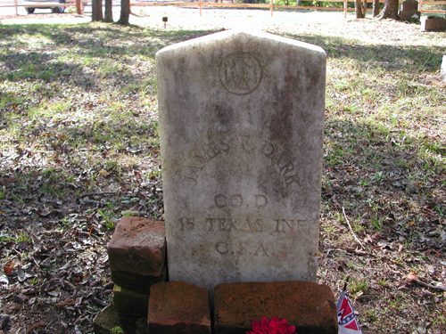
James
F Dark (Military Marker) (lo) |
| No pictures are available yet. |
Spring
Creek Cemetery
NW-42
by
.
| No pictures are available yet. |
Springhill Cemetery
(African-American)
AKA "Jackson Springhill Cemetery (A.A.)"
SW-09
by
.
| No pictures are available yet. |
Spring
Hill M. E. Cemetery
SW-20
by
.
| No pictures are available yet. |
Starr/Hawkins Cemetery
NE-32
by
.
| No pictures are available yet. |
Starrville
Cemetery
NE-19
by
Brenda
Wooddell
by
Janet Bonner
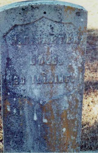
| W S Carter |
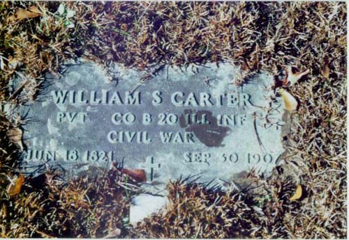
William S Carter (Military Marker) |
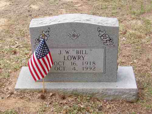
J. W. "Bill" Lowry |
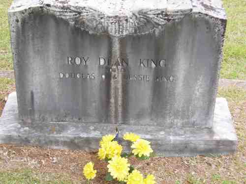
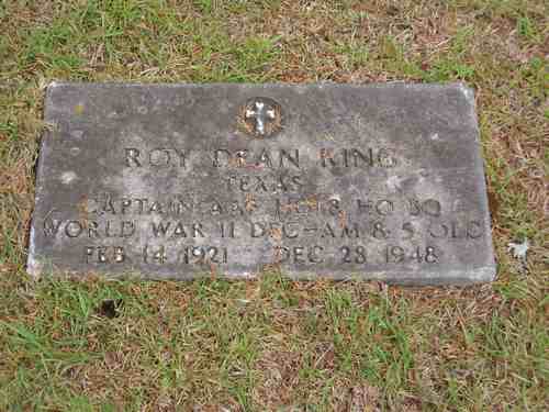
| Roy Dean King |
Roy Dean King (Military Marker) |
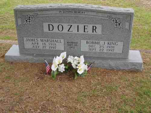
James & Bobbie Dozier |
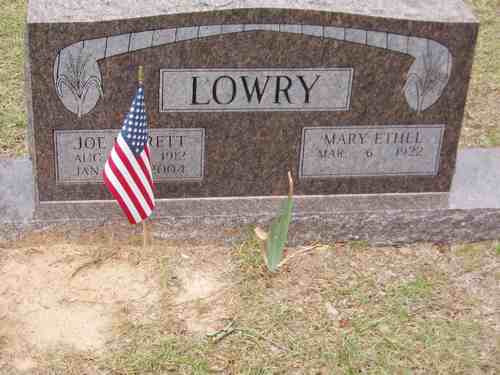
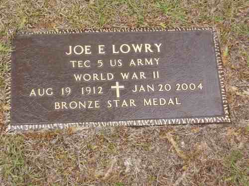
| Joe Everett & Mary Lowry |
Joe E Lowry (Military Marker) |
Stone,
G. W. Cemetery
(Destroyed Cemetery)
SE-58
by
.
| No pictures are available yet. |
Stone,
Monroe Cemetery
SE-59
by
.
| No pictures are available yet. |
Sugar
Hill Cemetery
(African-American)
NW-54
by
.
| No pictures are available yet. |
| Cemetery Listings: Main Page |
| Cemetery Listings: A - C |
| Cemetery Listings: D - G |
| Cemetery Listings: H - K |
| Cemetery Listings: L - M |
| Cemetery Listings: N - R |
| Cemetery Listings: S |
| Cemetery Listings: T - Z |
![]()
![]()
Copyright ©
2005 - 2009
East Texas Genealogical Society and the Individual Contributors