|
|
|
|
|
|
|
|
This page is sponsored by the East Texas Genealogical Society
Tate Cemetery
AKA "Tate (Bundy) Cemetery"
NW-35
by
.
| No pictures are available yet. |
Taylor/Little Cemetery
NE-15
by
.
| No pictures are available yet. |
| No pictures are available yet. |
Thompson
Family Cemetery
SE-25
USGS GNIS Coordinates: Latitude: 320858N Longitude: 0951625W
by
.
| No pictures are available yet. |
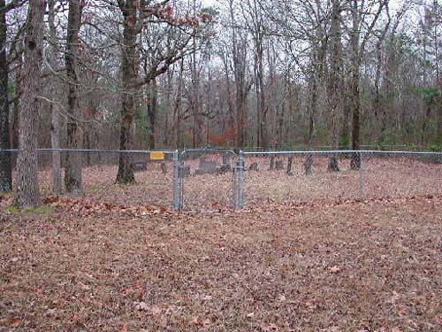
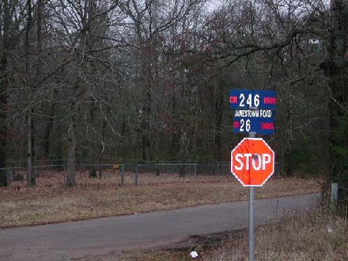
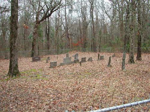
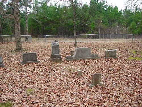
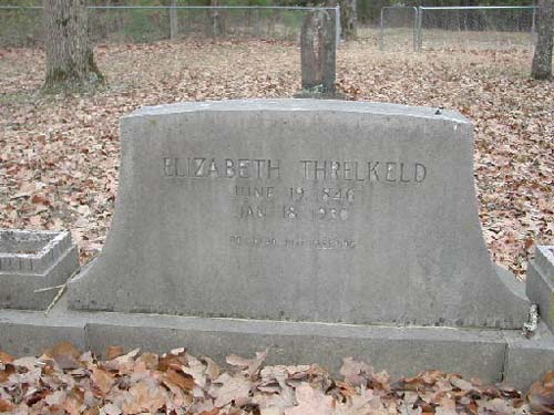
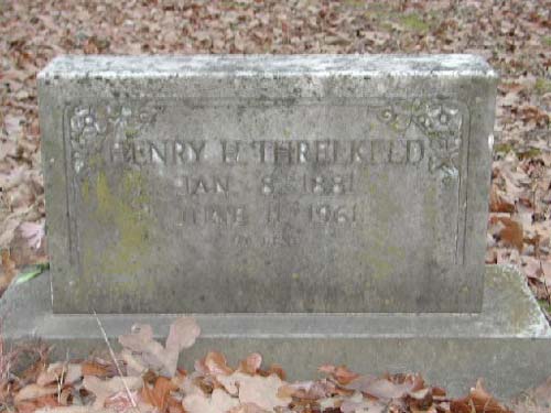
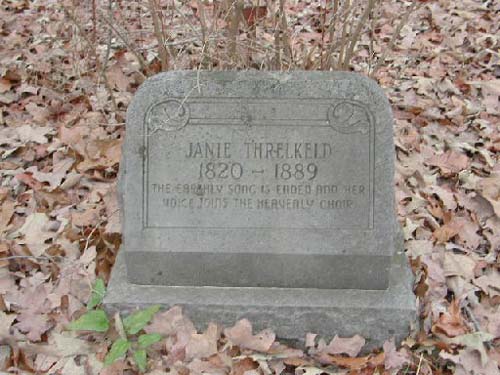
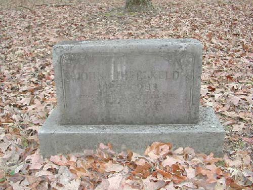
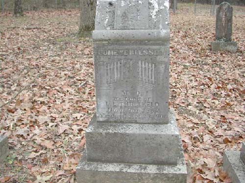
Threlkeld Cemetery
SE-38
Latitude: N 32:20:24.2
Longitude: W 095:02:40.6
Take Hwy 31E from Tyler to County Road (CR) 246S (about 3+/- miles shy of the
county line). Follow CR246S to CR26 (Jamestown Road). At intersection of CR246S
and CR26: Southeast corner - Threlkeld Cemetery - no sign - surrounded by
chain-link fence.
by
Lawrence E. Oliver
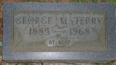
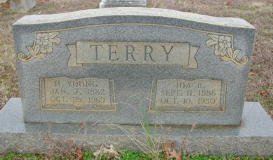
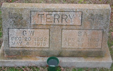
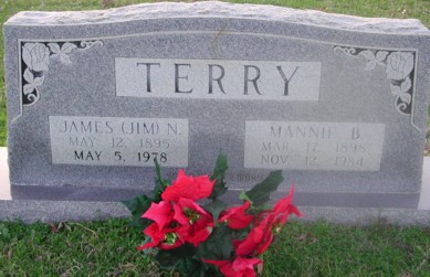
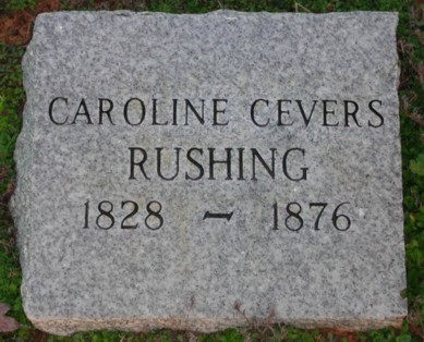
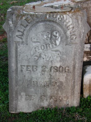
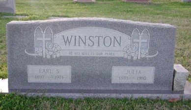
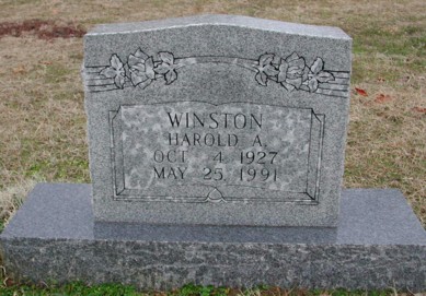
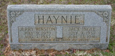
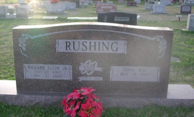
1846-1930 |
1881-1961 |
|
1820-1889 |
-1983 |
1852-1901 |
Troup City Cemetery
Troup, TX
SE-07
Latitude: N 32:08:51.0
Longitude: W 095:07:14.2
Located at the corner of McKay and Georgia Streets inside the city of Troup,
Smith County, Texas. The cemetery sits behind the high school in the city of
Troup.
Dedicated in 1873, this cemetery is on land reserved by the Railroad for
this purpose when the town was being planned. It is said that perhaps in some
cases there might be more than one person in the same place, as graves used to
be dug deeper than they are now, and rocks or markers might have been moved or
disappeared over the years.
| Click to Enter Cemetery |
Union
Chapel Cemetery
NW-13
by
.
| No pictures are available yet. |
Union
Grove Cemetery
SE-36
Smith County, TX
Latitude: N 32:08:49.1
Longitude: W 095:03:56.3
From Tyler, proceed south on
Hwy 110 through Whitehouse to the city of Troup. In Troup, at the intersection
of Hwy 110 & Hwy 15, turn left (east) and proceed about 3.5 miles. This Cemetery
is behind the Union Grove Missionary Baptist Church. The church & cemetery are
on the right side of the road (south side).
| Click to Enter Cemetery |
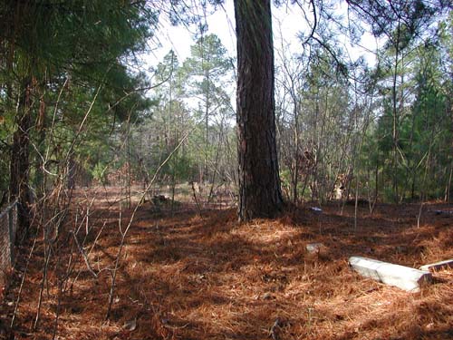
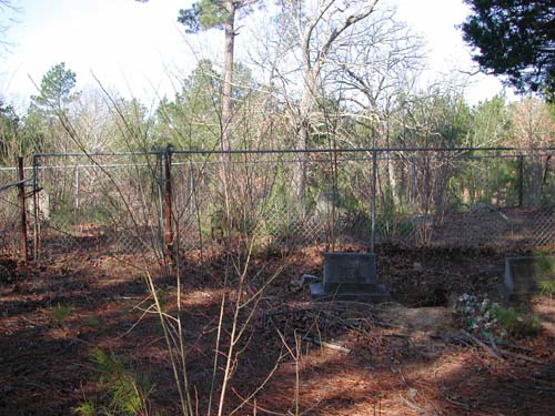
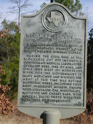
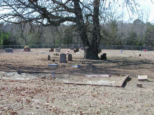
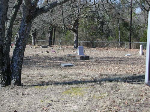
Universe Cemetery
Headache Springs Area, Tyler, TX
SE-09
Latitude: N 32:20:08.4
Longitude: W 095:14:47.9
This cemetery is inside the City of Tyler, Texas. Take Highway 64 East from
Downtown Tyler to CR274 (Nottingham Lane) and turn left (North). Travel about
1/2 mile to the 9100 block of the street. There is a 4-unit Brick Apartment
building (west side of street) - behind the parking lot of this apartment
building is the cemetery. The fence and the northernmost gate to the cemetery is
visible through this parking lot. If permission to cross the parking lot is
denied (not likely to happen), then travel north an additional 100 yards on
CR274 to the entrance of Headache Springs Park. From the parking at this park
entrance, go into the woods to the west behind the property lines and travel
back down about 100 yards to the northern fence of the cemetery - you can access
the cemetery by either going around the west end of the fence or going to the
northeast corner and enter the gate at the back of the apartment parking lot.
This cemetery is about 3 acres in size and is fenced on the north and east
sides with a 4 foot high chain-link fence. It does not appear to be maintained.
There are 4 family plots inside the cemetery which are separately fenced. Only
one of these separate plots appears to be maintained and it contains the most
recent burial from March, 2001. The earliest burial is from 1871.
by
Lawrence E. Oliver
parking area |
||
the east fence of the cemetery |
||
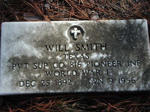
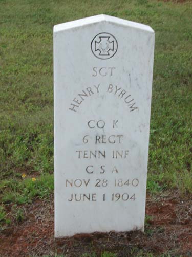
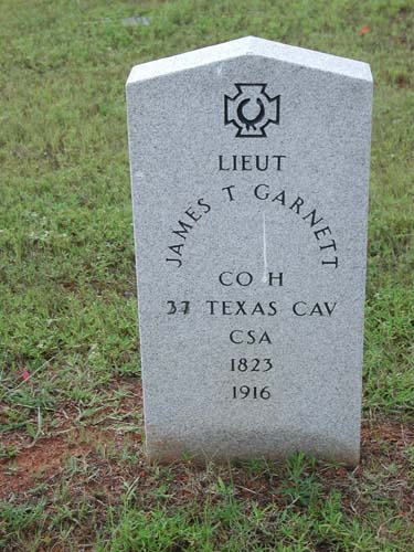
Texas Pvt Sup Co 816 Pioneer Co World War I Dec 25 1892 - Jan 9 1956 |
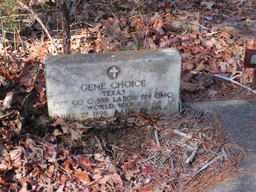
Texas Pvt Co C 355 Labor Bn QMC World War I July 27 1896 - Aug 24 1954 |
Historical Marker located on Hwy 64 about 1/4 mile before connection with CR274. |
Unnamed
Cemetery
(Small at Garden Valley)
NW-49
by
.
| No pictures are available yet. |
| No pictures are available yet. |
Walnut Grove Cemetery
Walnut Grove Community, TX
SE-16
Latitude: N 32:10:44.2
Longitude: W 095:13:52.4
From Tyler take Hwy110 south through Whitehouse. South of Whitehouse, turn
right (west) on FM344. The cemetery is about 2½ miles on the right (north side)
of the road.
On September 30, 1903 Mr. and Mrs. Charles Canton donated 2 acres of land
to the Walnut Grove Community. Later that year (1903) Robert Shackelford was
being taken to Gandy Mountain for burial over bad roads. When the party reached
Walnut Grove, the road was impassable and they were forced to bury the
88-year-old Mr. Shackelford there, starting the cemetery. His is the first
grave, and unmarked.
| Click to Enter Cemetery |
Walnut
Springs Cemetery
(African-American)
NW-40
by
.
| No pictures are available yet. |
| No pictures are available yet. |
Waters
Bluff Cemetery
(African-American)
NE-03
USGS GNIS Coordinates: Latitude: 323106N Longitude: 0950714W
by
.
| No pictures are available yet. |
| No pictures are available yet. |
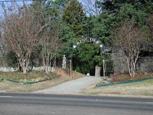
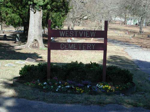
Westview Cemetery
(African-American)
Tyler, TX
NW-12
Latitude: N 32:21:06.1
Longitude: W 095:20:04.8
This cemetery is located on Hwy 64 West, inside the city limits of Tyler. The
cemetery is on the north side of Hwy 64W.
by
Lawrence E. Oliver
Sign Over Gate |
White Cemetery
AKA "Perryman Cemetery"
NE-01
USGS GNIS Coordinates: Latitude: 323302N Longitude: 0951602W
by
.
| No pictures are available yet. |
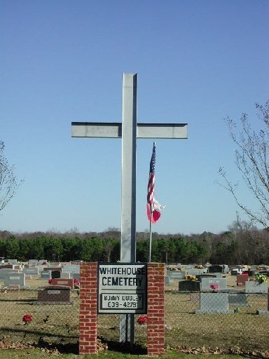
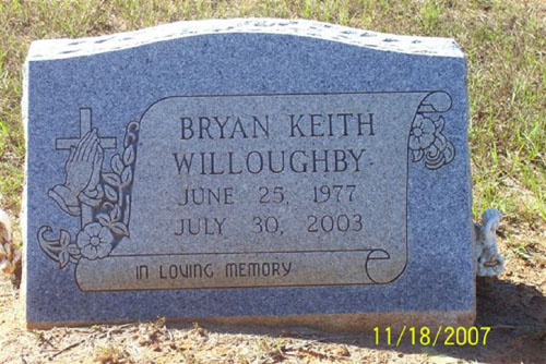
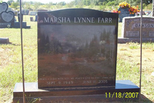
Whitehouse Memorial
Cemetery
Whitehouse, TX
SE-01
Latitude: N 32:13:18.0
Longitude: W 095:12:52.3
Take State Hwy 110 southeast of Tyler, Texas to the city of Whitehouse,
Texas. In Whitehouse turn left on State Hwy346 and continue to CR2132 and turn
right (south). Continue for about 1 mile and the cemetery is on the left (east)
side of the road.
by
Lawrence E. Oliver
by
Olin Hartley
| Bryan Keith Willoughby | Marsha Lynne Farr |
| No pictures are available yet. |
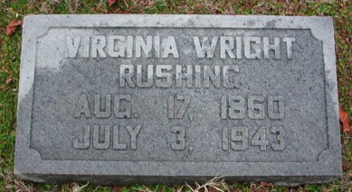
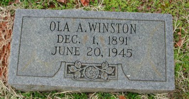
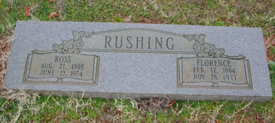
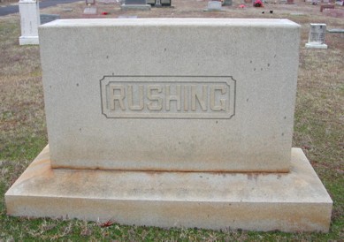
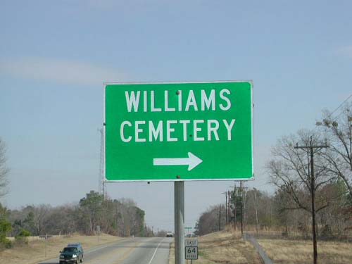
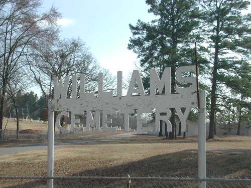
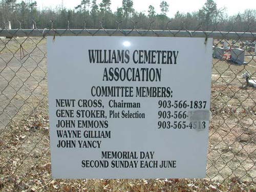
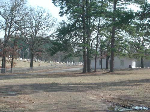
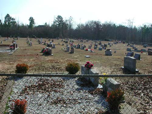
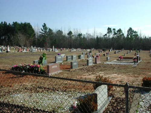
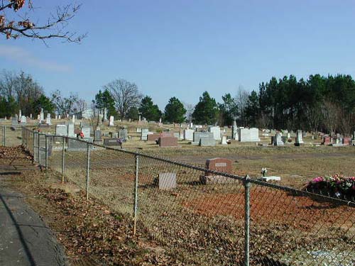
Williams Cemetery
Swinneytown, TX
SE-42
Latitude: N 32:17:28.6
Longitude: W 095:08:18.2
From Tyler take Hwy64 east to the intersection of CR3226, located in
Swinneytown. Cemetery is on the right (south side) at this intersection. This
cemetery is located 10 miles east of Tyler.
by
Lawrence E. Oliver
Cemetery in background |
|
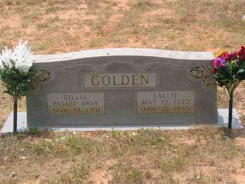
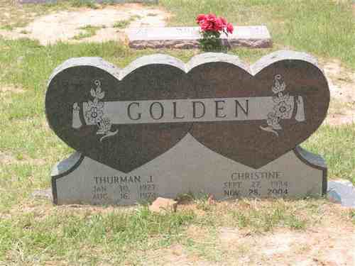
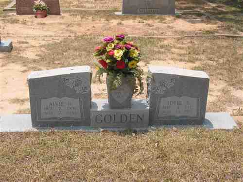
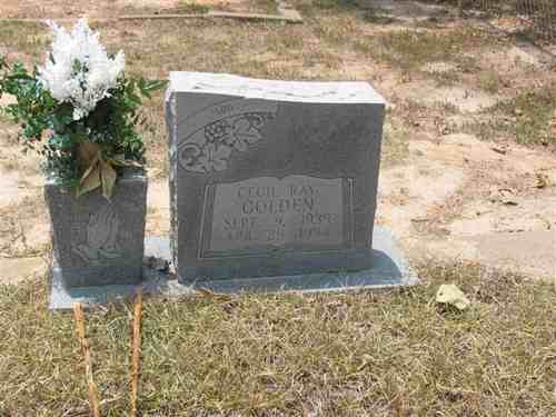
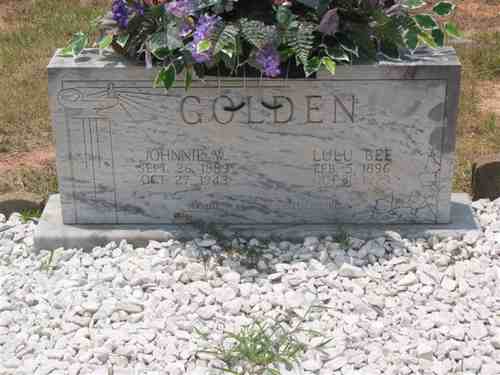
| Billie & Sallie Golden | Thurman & Christine Golden | Alvie & Idell Golden |
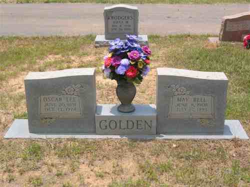
| Cecil Ray Golden | Johnnie & Lulu Golden | Oscar & May Golden |
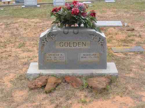
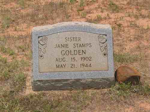
| Spencer & Madeline Golden | Janie Stamps Golden |
| No pictures are available yet. |
Wilson-Curtis Cemetery
SE-56
USGS GNIS Coordinates: Latitude: 321743N Longitude: 0950156W
by
.
| No pictures are available yet. |
| No pictures are available yet. |
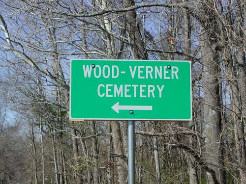
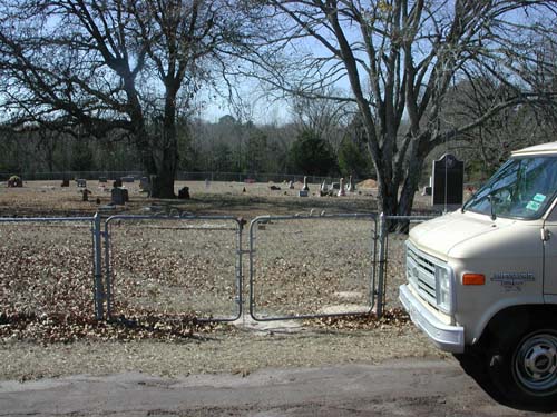
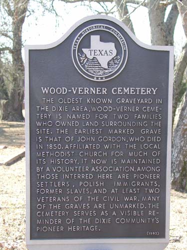
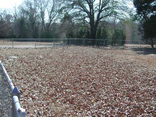
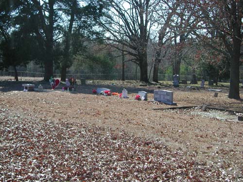
Wood-Verner Cemetery
Dixie Community, TX
AKA "Black Fork Cemetery"
AKA "Verner Cemetery"
NW-31
Latitude: N 32:22:36.9
Longitude: W 095:25:43.8
Take Hwy64 west from Tyler to the intersection of Hwy724 and turn right
(northwest). Go to intersection of CR1148 and turn left (west). Continue to end
of CR1148 and the road ends at and circles the cemetery.
John Lollar deeded land to the trustees of Black Fork Methodist Episcopal
Church, South in 1855.
by
Lawrence E. Oliver
| No pictures are available yet. |
| Cemetery Listings: Main Page |
| Cemetery Listings: A - C |
| Cemetery Listings: D - G |
| Cemetery Listings: H - K |
| Cemetery Listings: L - M |
| Cemetery Listings: N - R |
| Cemetery Listings: S |
| Cemetery Listings: T - Z |
![]()
![]()
Copyright ©
2005 - 2009
East Texas Genealogical Society and the Individual Contributors


