 |
 |

| |
Walworth County
|
These photos were generously taken and contributed to these pages by Larry & Linda Kopet! Please take a moment to thank them for this terrific resource! Use your back browser button to return to this page. Please note that these generous contributions do not necessarily depict all tombstone photographs for a given cemetery. |
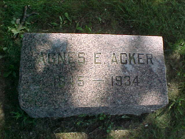
| Acker, Agnes E. |
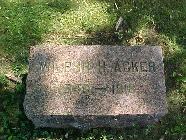
| Acker, Wilbue H. |
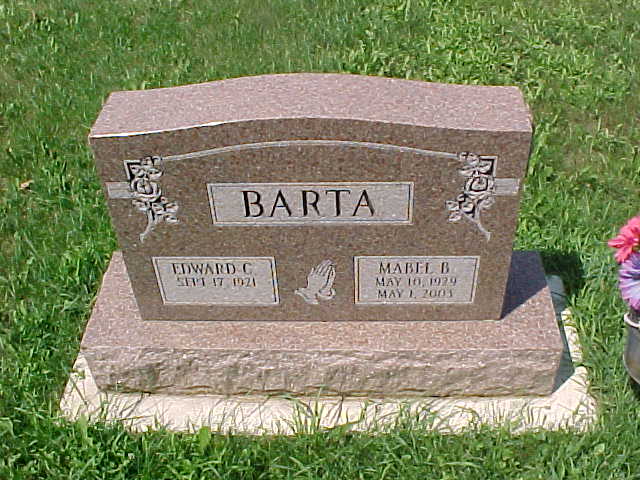
| Barta, Edward C. and Mabel B. |
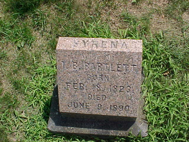
| Bartlett, Syrena |
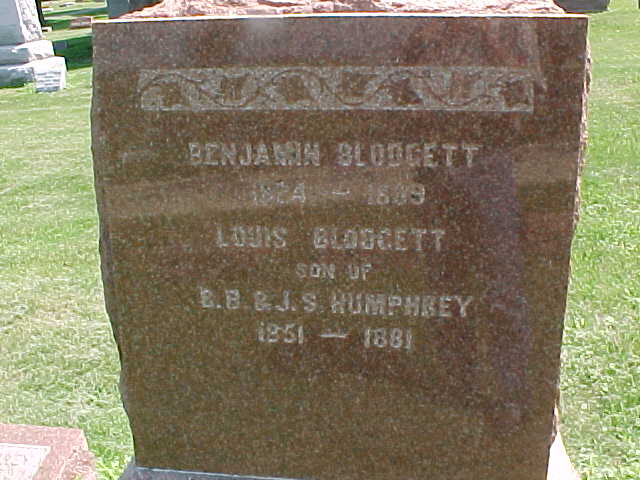
| Blodgett, Benjamin and Louis |
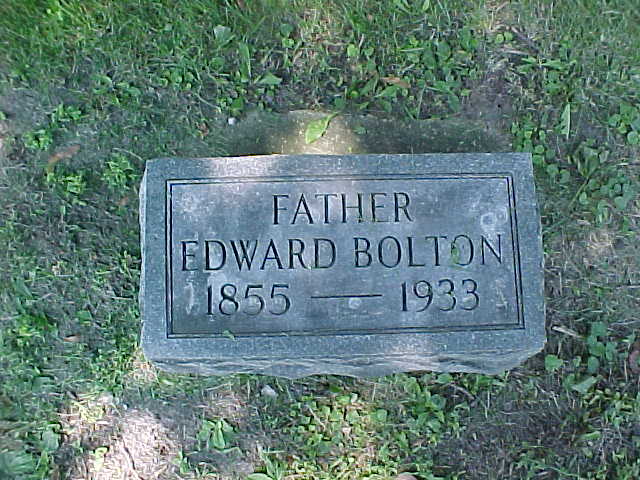
| Bolton, Edward |
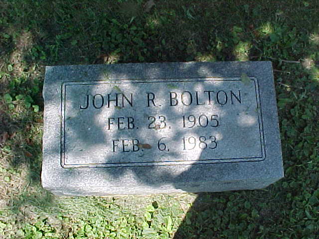
| Bolton, John R. |
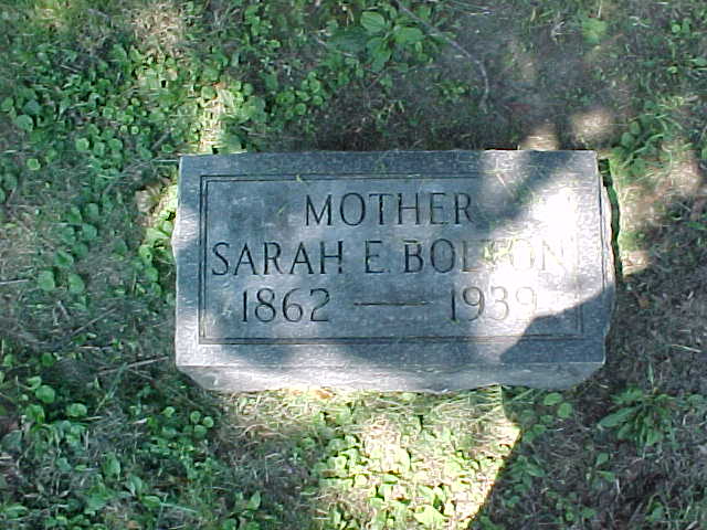
| Bolton, Sarah E. |
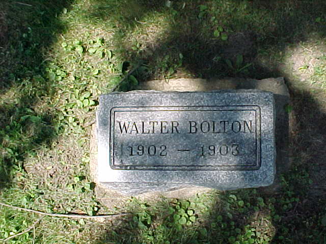
| Bolton, Walter |
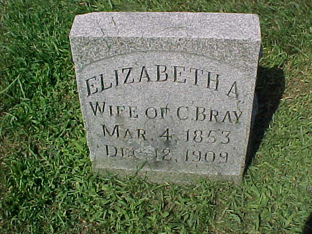
| Bray, Elizabeth A. |
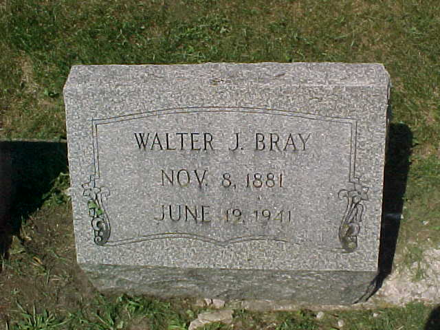
| Bray, Walter J. |
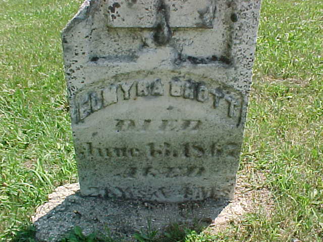
| Brott, unclear |
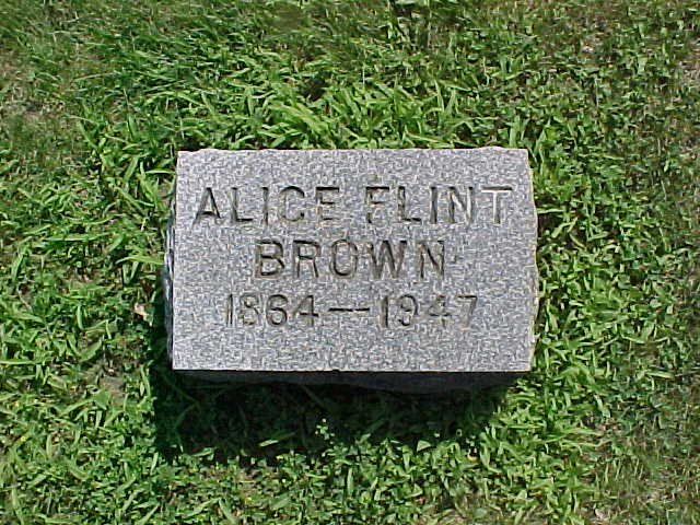
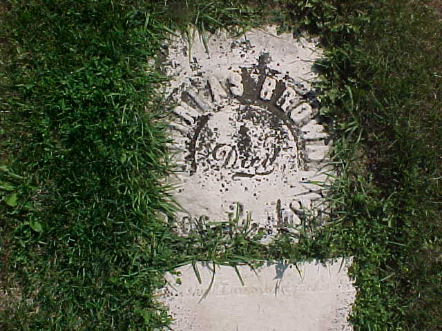
| Brown, Alice Flint |
| Brown, unclear |
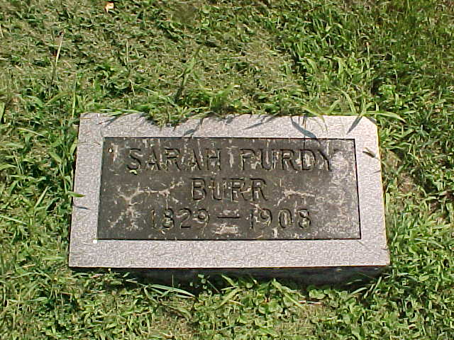
| Burr, Sarah Purdy |
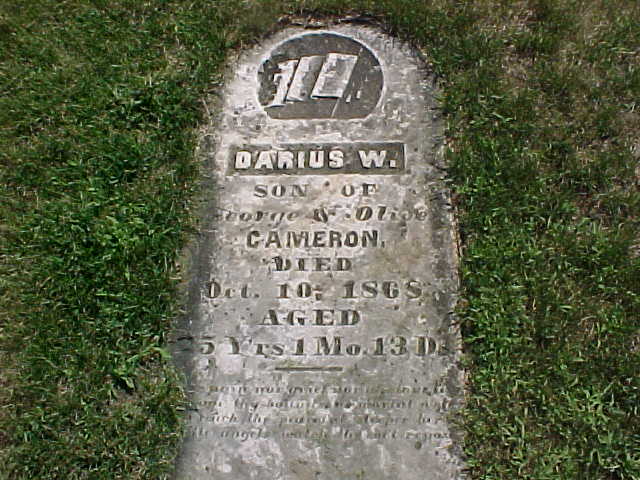
| Cameron, Darius W. |
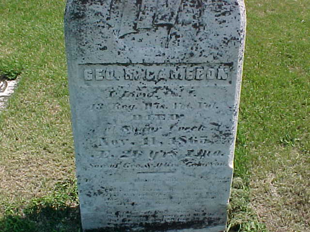
| Cameron, George |
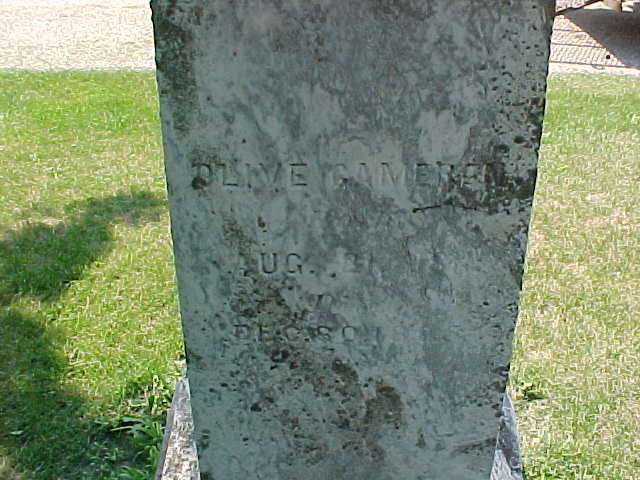
| Cameron, Olive |
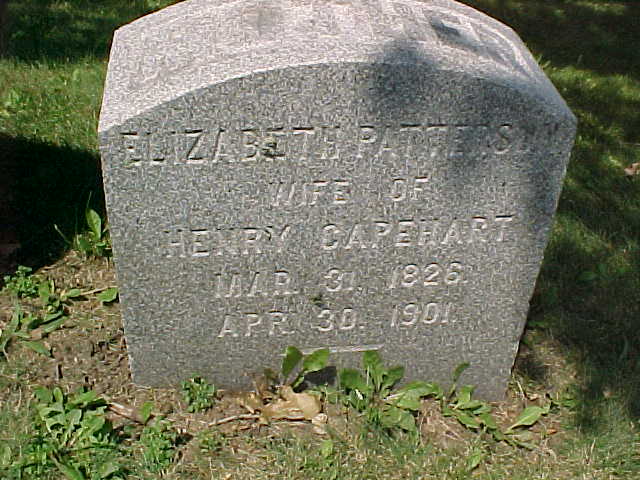
| Capehart, Elizabeth Patterson |
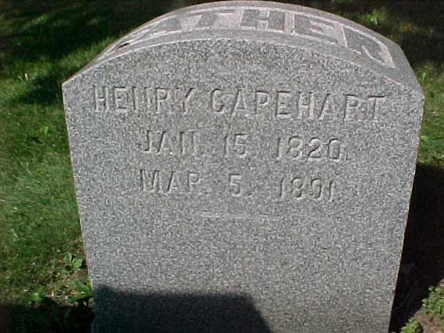
| Capehart, Henry |
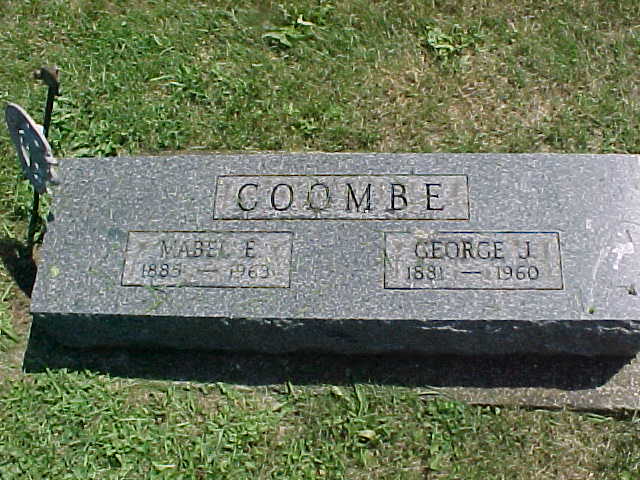
| Coombe, George J. and Mabel E. |
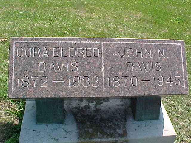
| Davis, John N. and Cora Eldred |
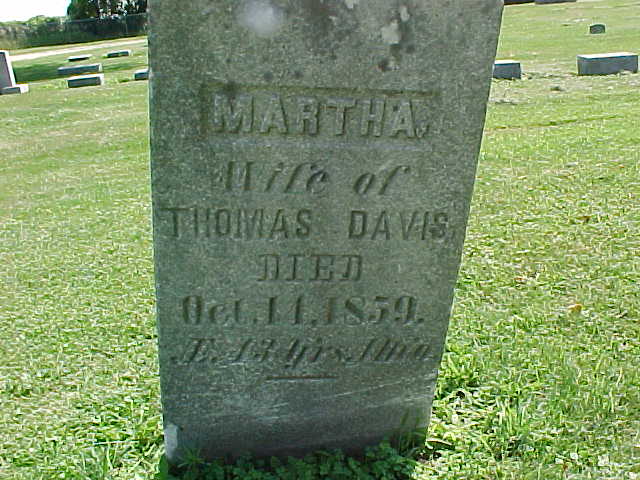
| Davis, Martha |
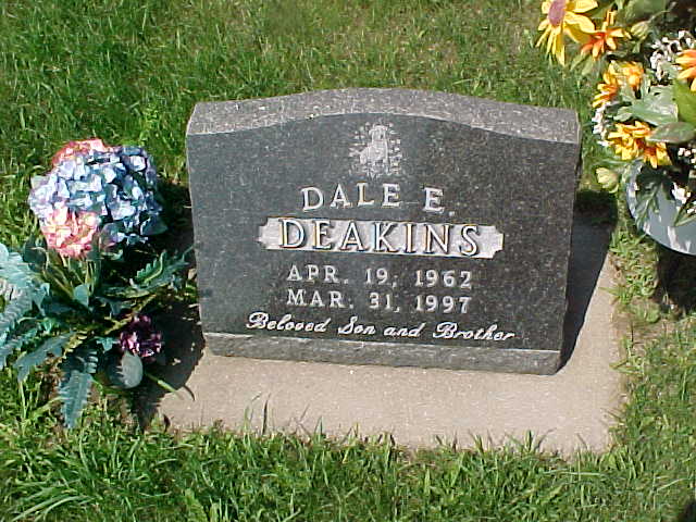
| Deakins, Dale E. |
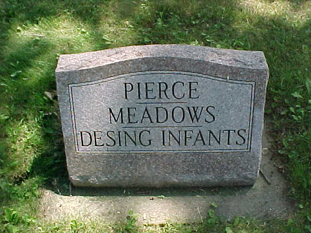
| Desing, infants |
| Dewing, Alison |
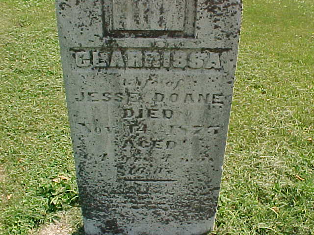
| Doane, Clarissa |
| Doane, Jesse |
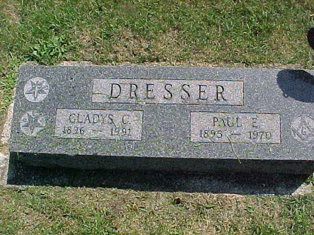
| Dresser, Paul E. and Gladys C. |
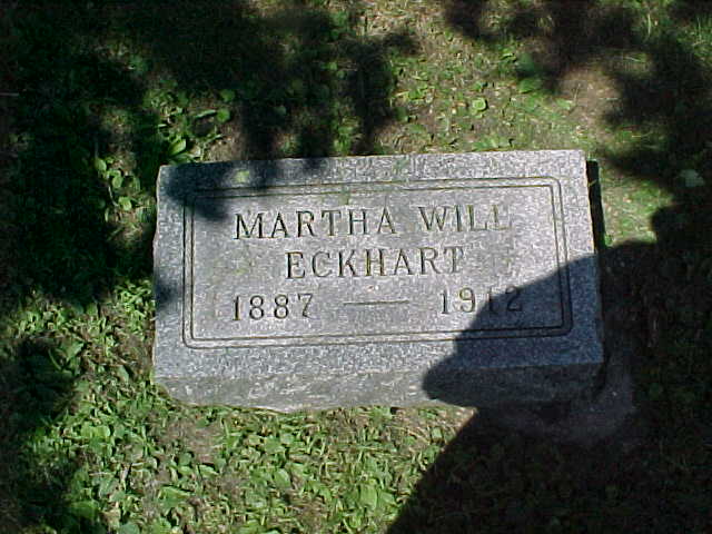
| Eckhart, Martha Will |
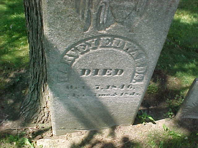
| Edwards, Harvey |
| Edwards, Mary |
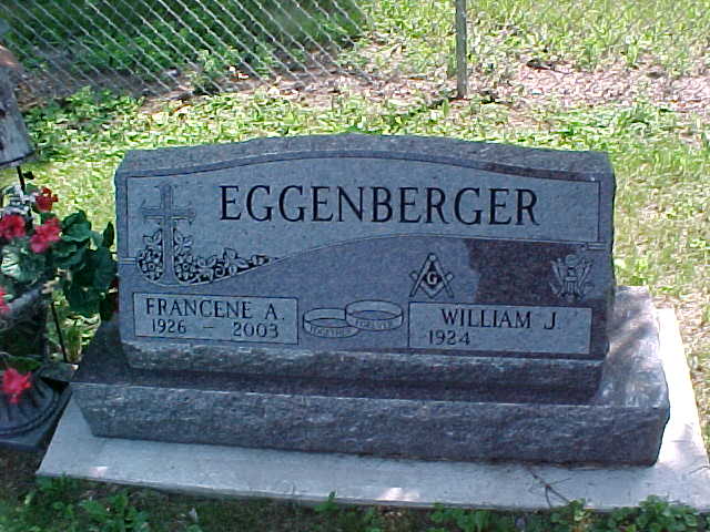
| Eggenberger, William J. |
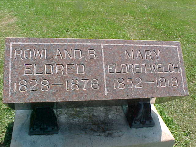
| Eldred, Rowland B. and Mary |
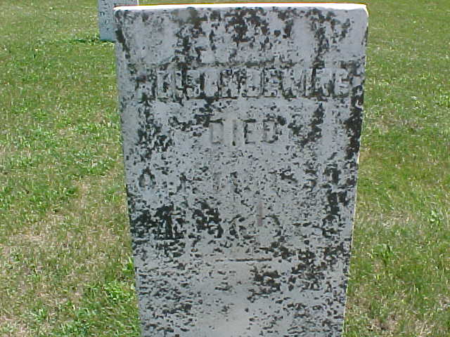
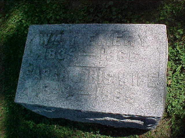
| Emery, Wm. and Sarah J. |
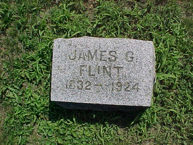
| Flint, James G. |
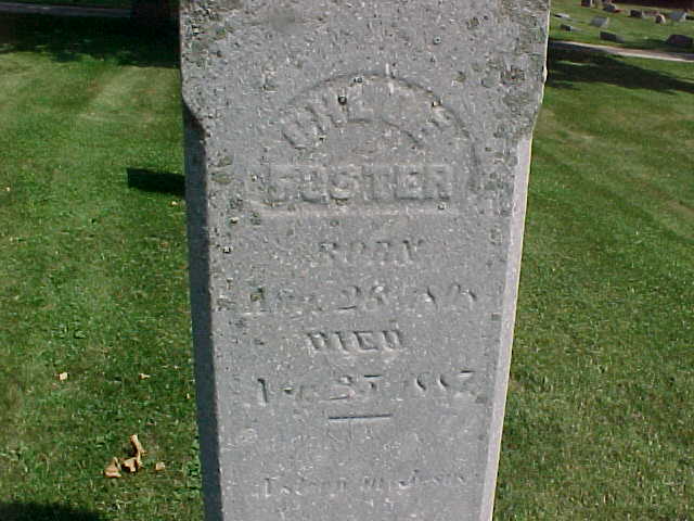
| Foster, Chloe |
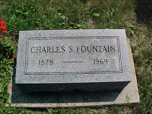
| Fountain, Charles S. |
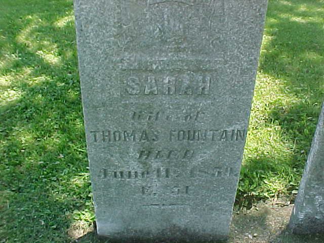
| Fountain, Sarah |
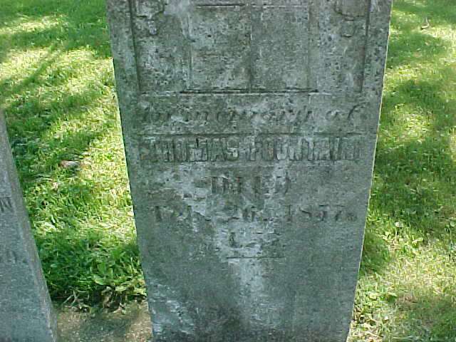
| Fountain, Thomas |
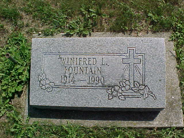
| Fountain, Winifred L. |
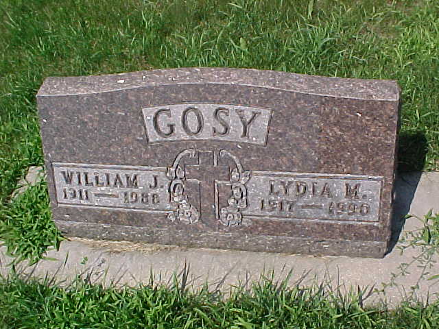
| Gosy, William J. and Lydia M. |
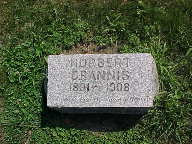
| Grannis, Norbert |
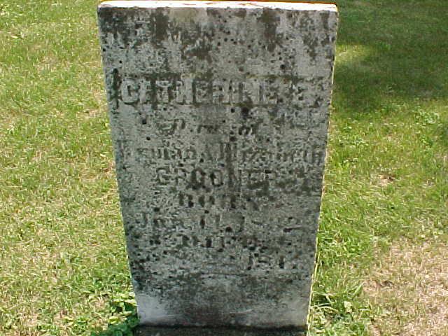
| Grooner, Catherine E. |
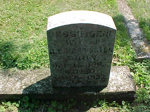
| Harrington, Bessie Gene |
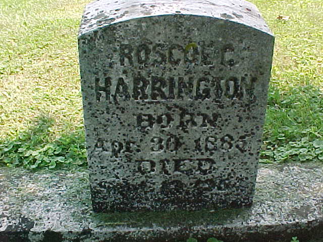
| Harrington, Roscoe C. |
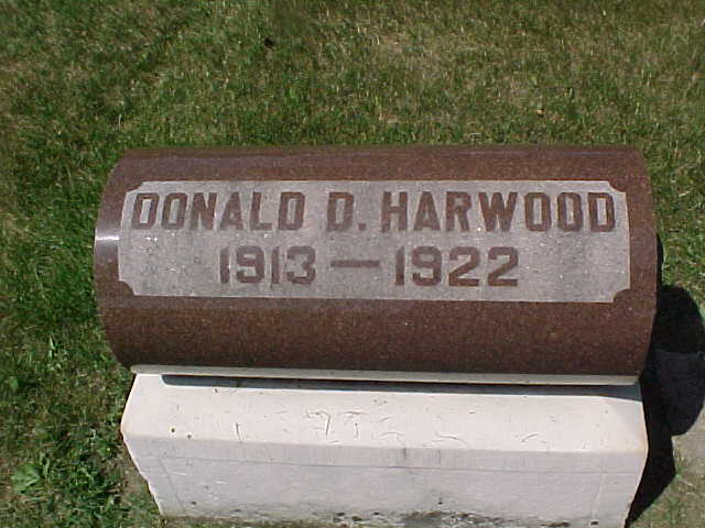
| Harwood, Donald D. |
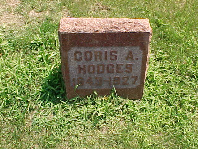
| Hodges, Coris A. |
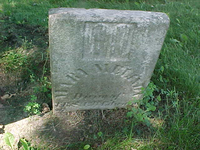
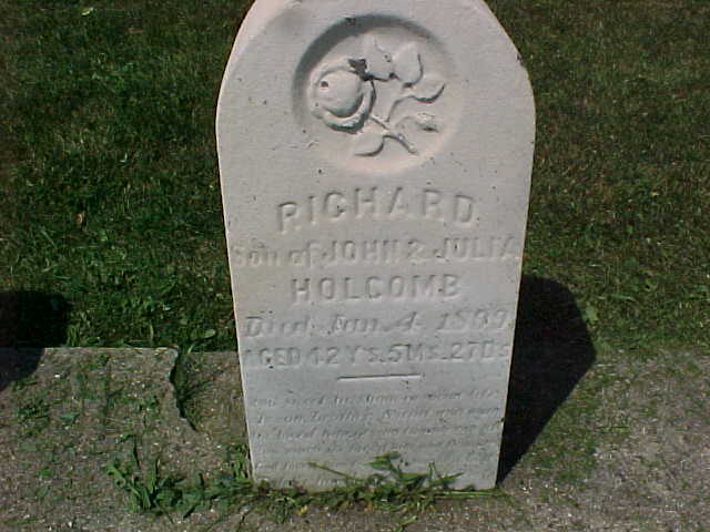
| Holcomb, Richard |
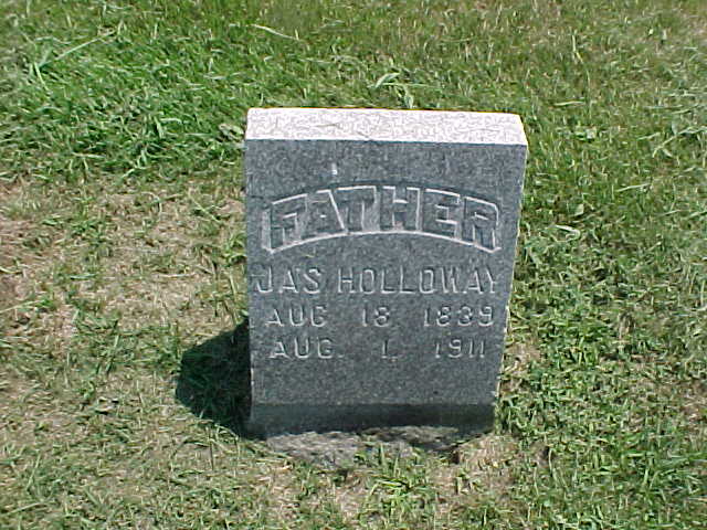
| Holloway, Jas |
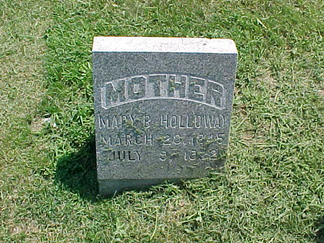
| Holloway, Mary B. |
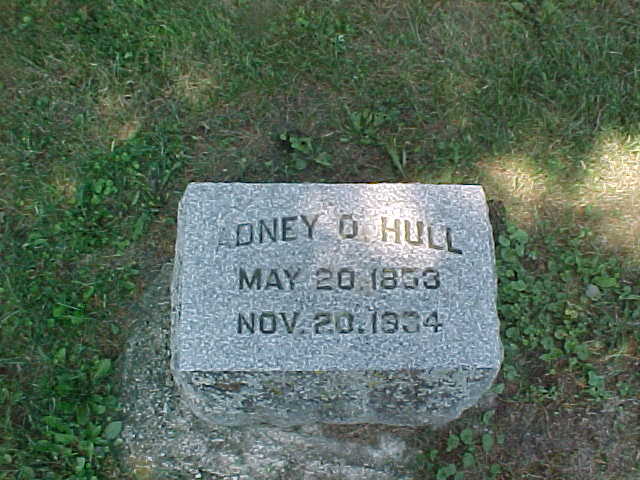
| Hull, Adney O. |
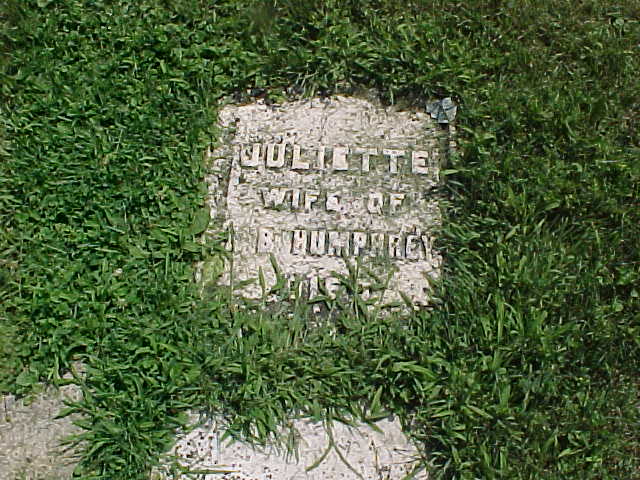
| Humphrey, Juliette |
| Humphrey, Mary J. |
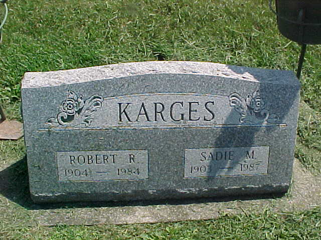
| Karges, Robert R. and Sadie M |
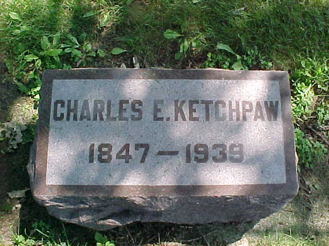
| Ketchpaw, Charles E. |
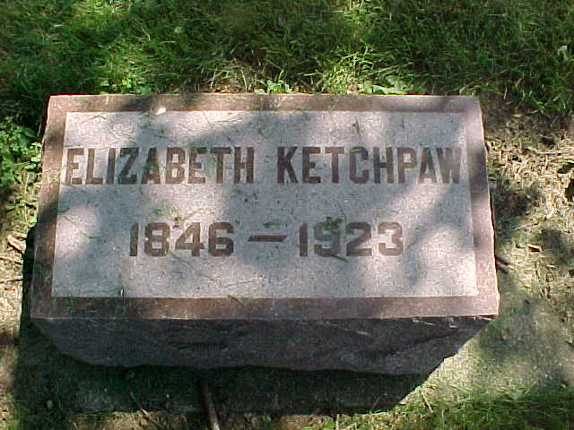
| Ketchpaw, Elizabeth |
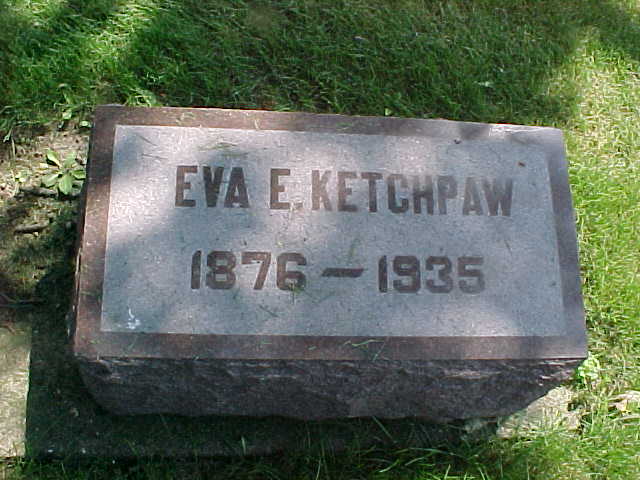
| Ketchpaw, Eva E. |
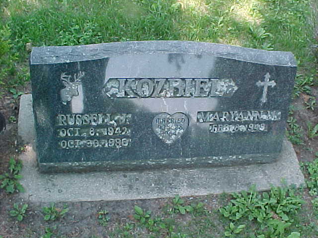
| Kozbiel, Russell J. and Maryann |
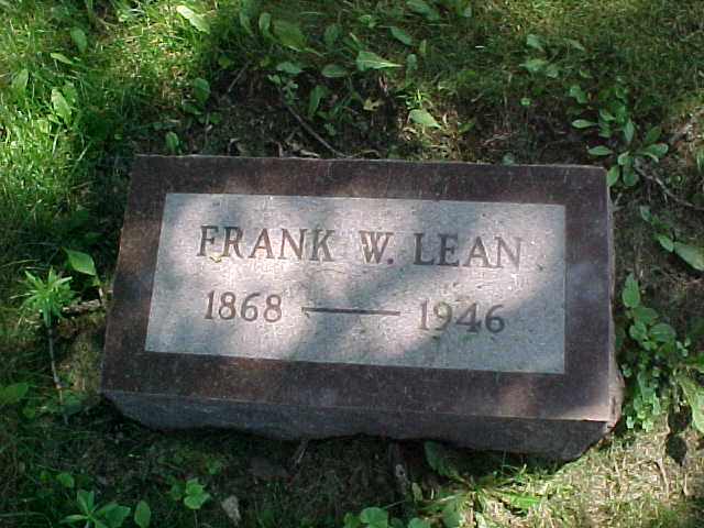
| Lean, Frank W. |
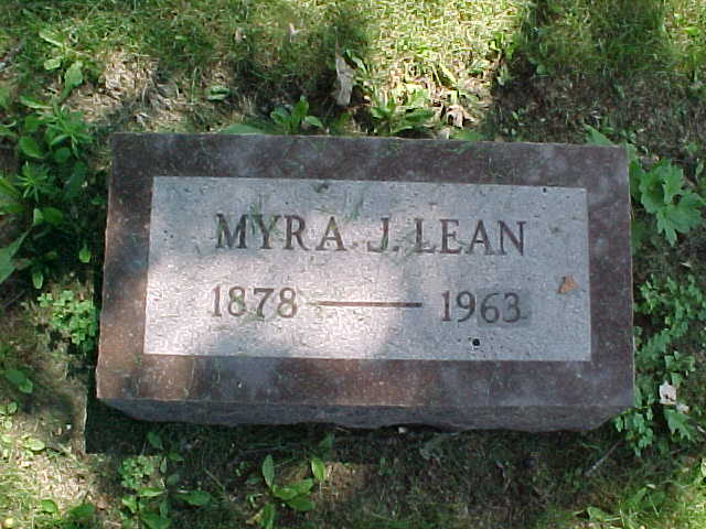
| Lean, Myra J. |
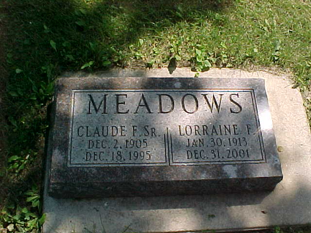
| Meadows, Claude F. Sr. |
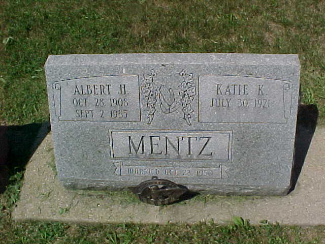
| Mentz, Albert H. and Katie K |
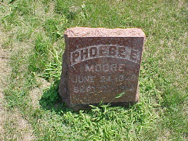
| Moore, Phoebe E. |
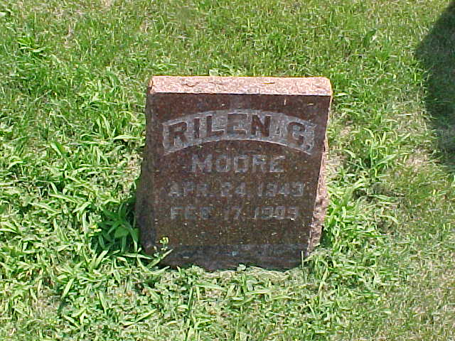
| Moore, Rilen C. |
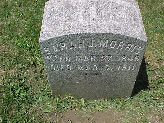
| Morris, Sarah J. |
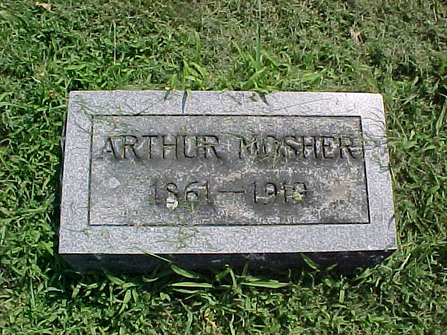
| Mosher, Arthur |
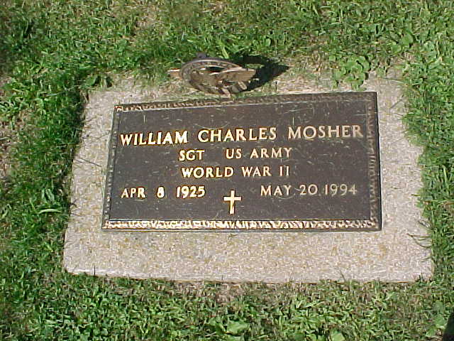
| Mosher, William Charles |
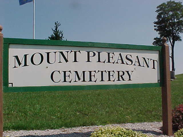
| Mount Pleasant Cemetery Sign, |
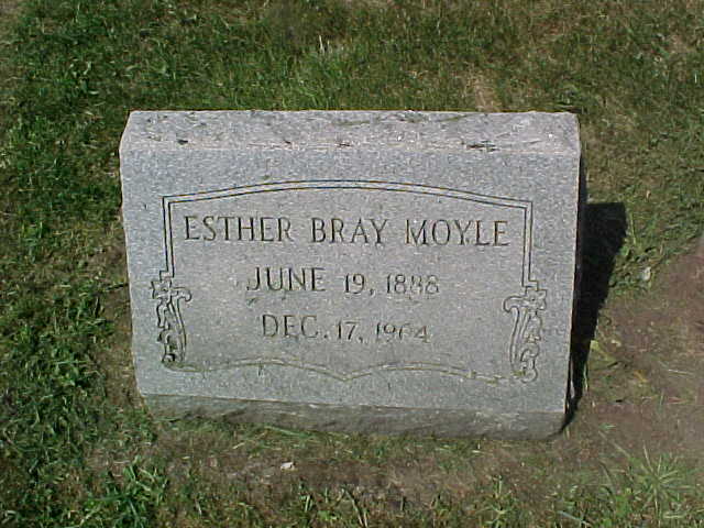
| Moyle, Esther Bray |
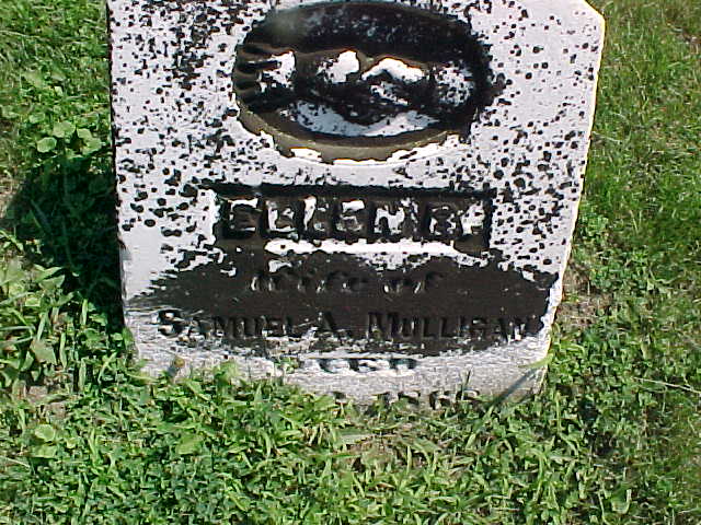
| Mulligan, Ellen B. |
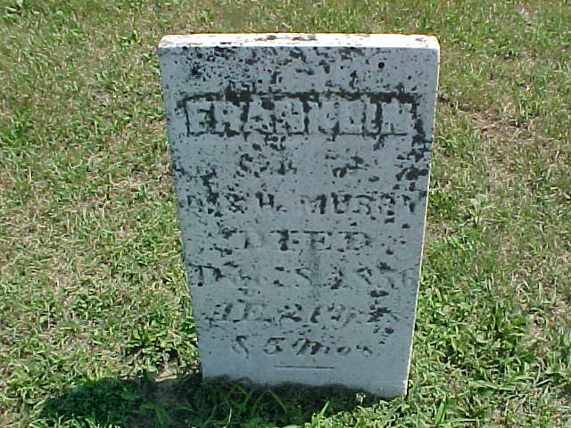
| Murray, Franklin |
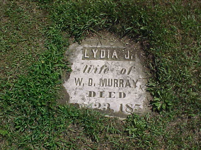
| Murray, Lydia J. |
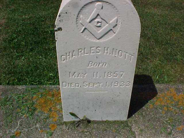
| Nott, Charles H. |
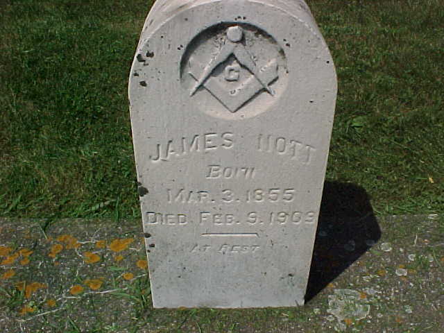
| Nott, James |
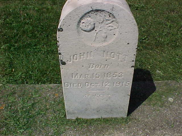
| Nott, John |
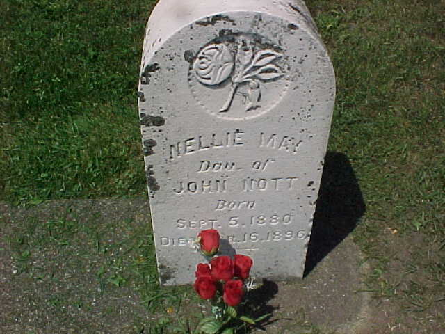
| Nott, Nellie May |
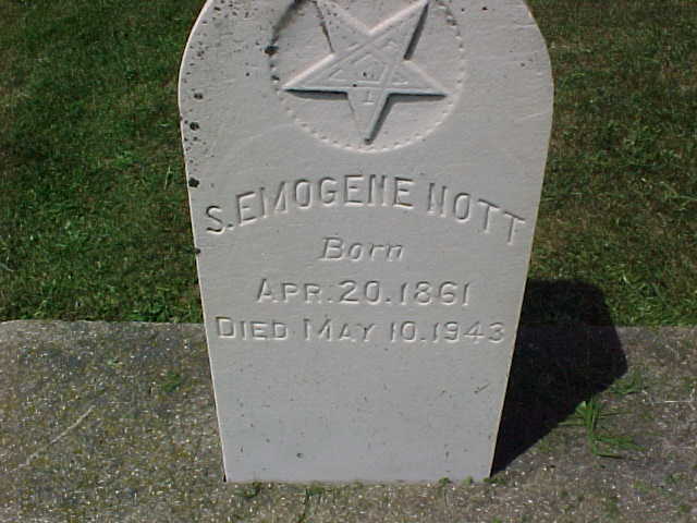
| Nott, S. Emogene |
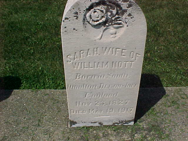
| Nott, Sarah |
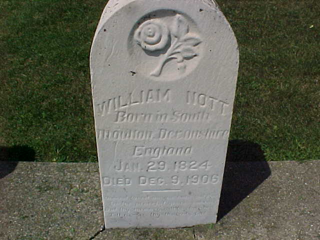
| Nott, William |
| Parsons, Cora J. |
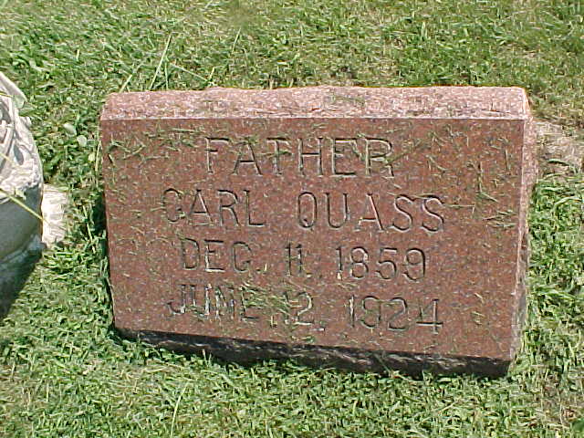
| Quass, Carl |
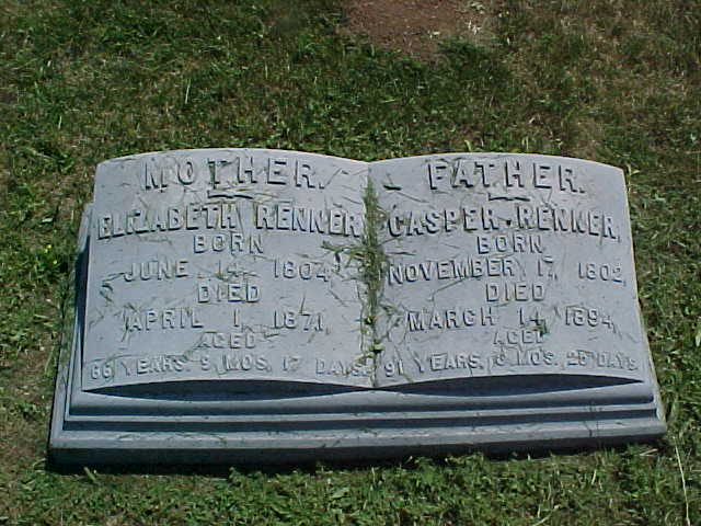
| Renner, Casper and Elizabeth |
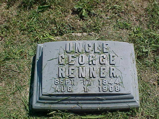
| Renner, George |
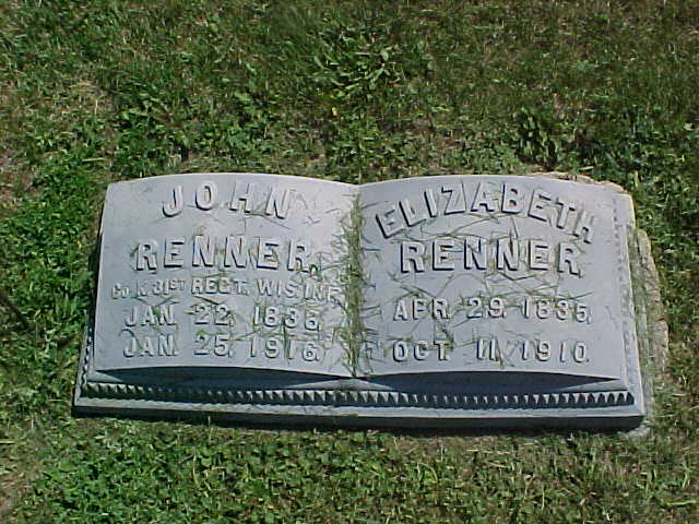
| Renner, John and Elizabeth |
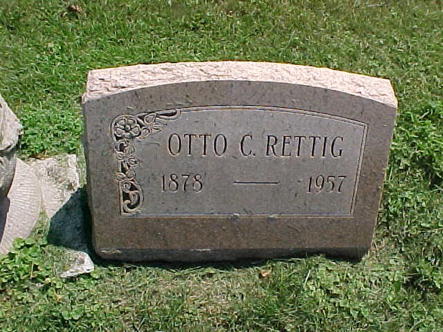
| Rettig, Otto C. |
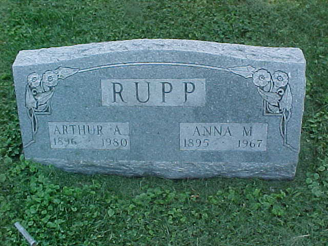
| Rupp, Arthur A. and Anna M. |
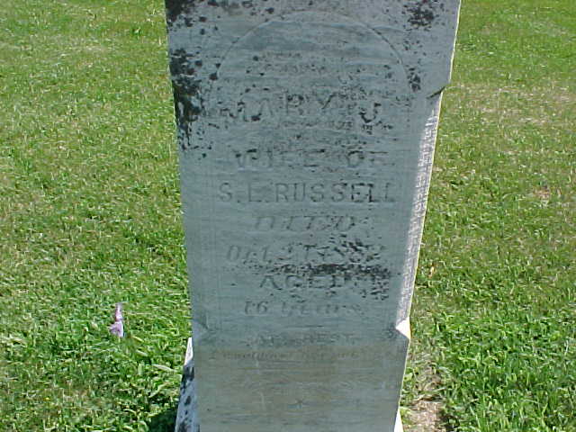
| Russell, Mary J. |
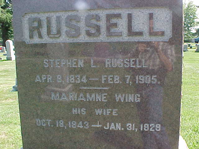
| Russell, Stephen L. and Mariam |
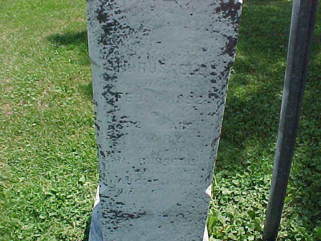
| Russell, unclear and Mary |
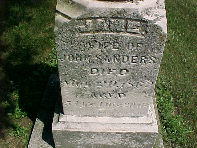
| Sanders, Jane |
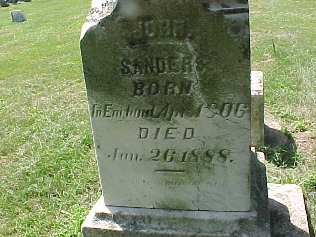
| Sanders, John |
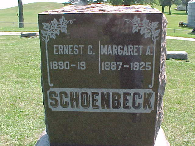
| Schoenbeck, Ernest C. and Margaret |
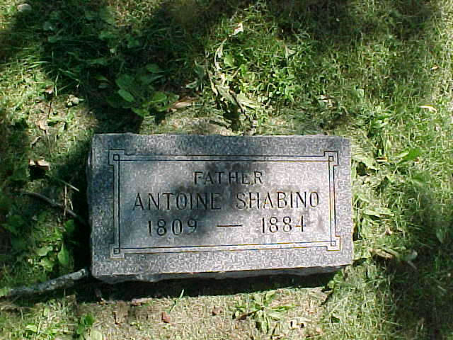
| Shabino, Antoine |
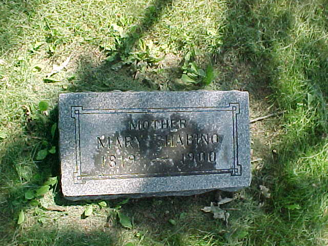
| Shabino, Mary |
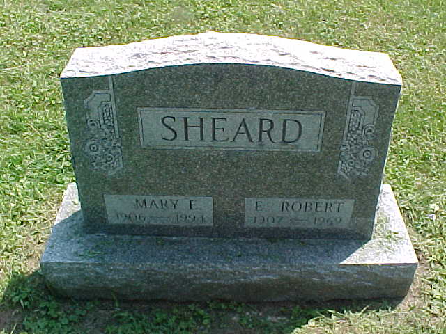
| Sheard, E. Robert and Mary E. |
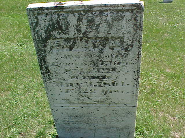
| Smith, Emily A. |
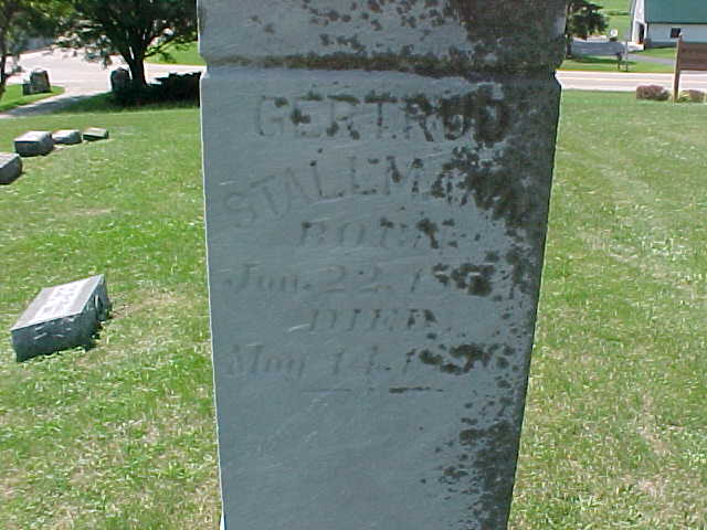
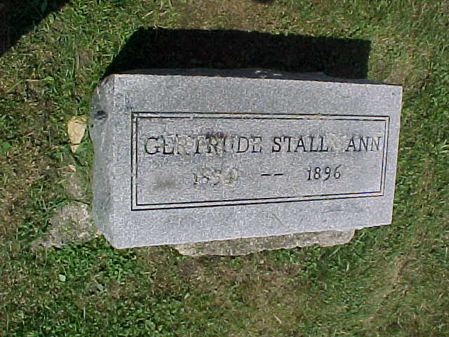
| Stallmann, Gertrud |
| Stallmann, Gertrude |
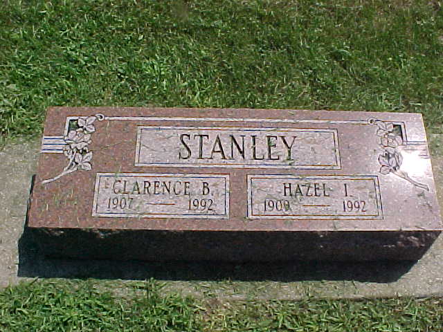
| Stanley, Clarence B. and Hazel |
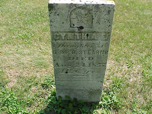
| Stearns, Cynthia E. |
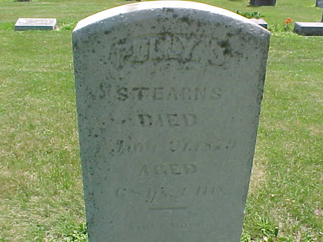
| Stearns, Polly J. |
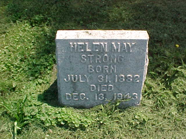
| Strong, Helen May |
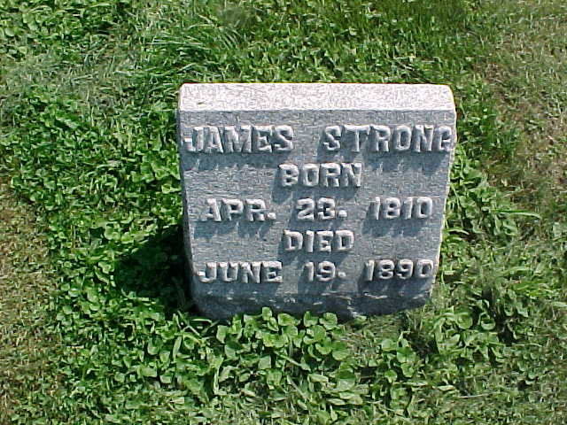
| Strong, James |
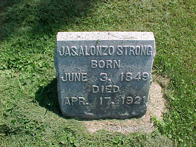
| Strong, Jas. Alonzo |
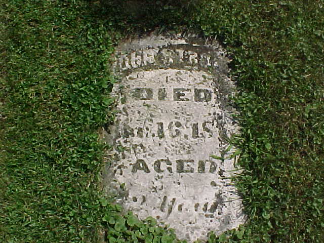
| Strong, John |
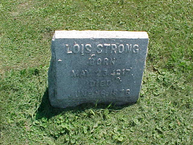
| Strong, Lois |
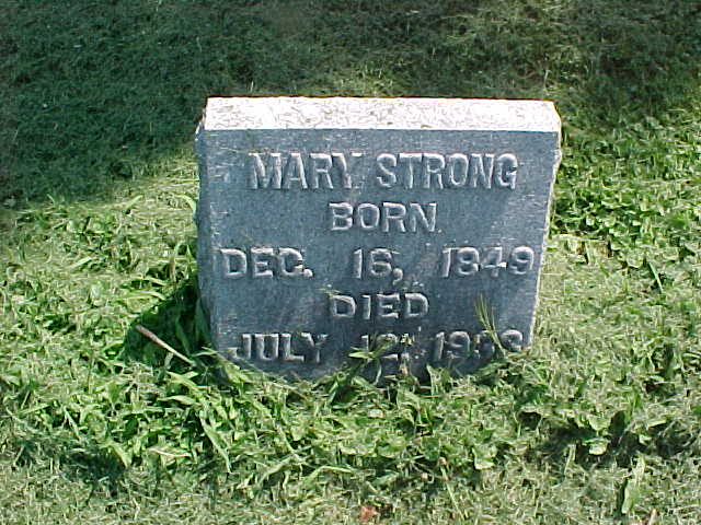
| Strong, Mary |
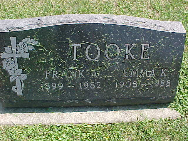
| Tooke, Frank A. and Emma K. |
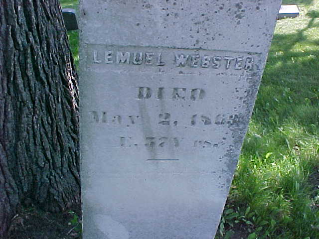
| Webster, Lemuel |
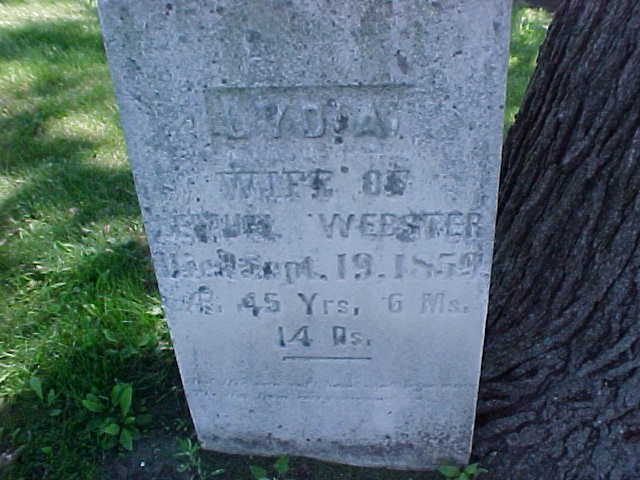
| Webster, Lydia |
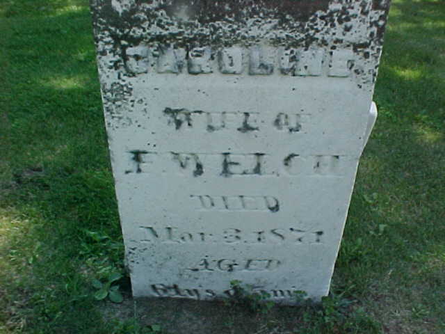
| Welch, Caroline |
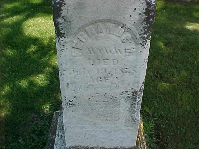
| Welch, Fernando H. |
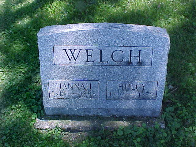
| Welch, Hulcy and Hannah |
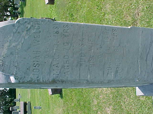
| Welch, Josiah and Loysa |
| Welch, Judson R. and family |
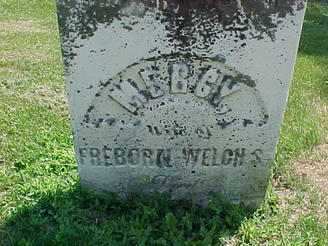
| Welch, Mercy |
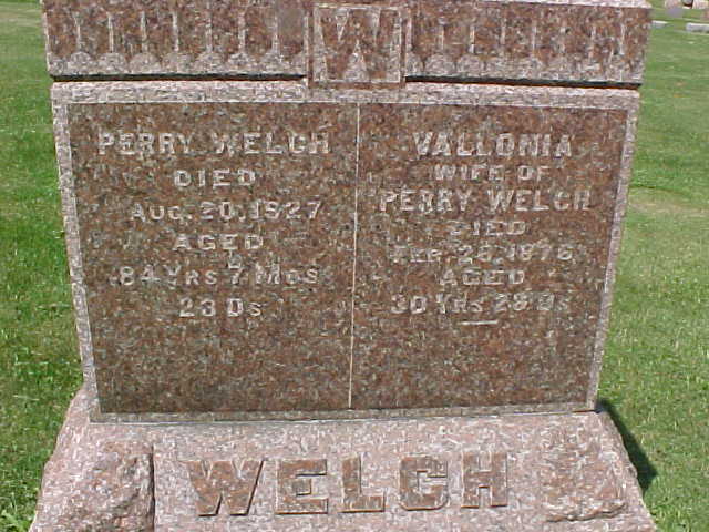
| Welch, Perry and Vallonia |
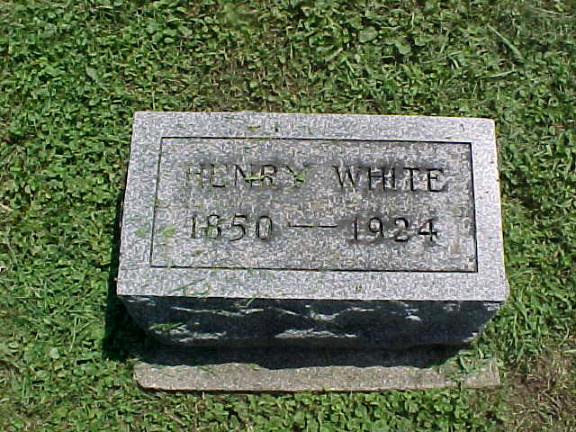
| White, Henry |
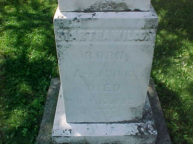
| Wilcox, Martha |
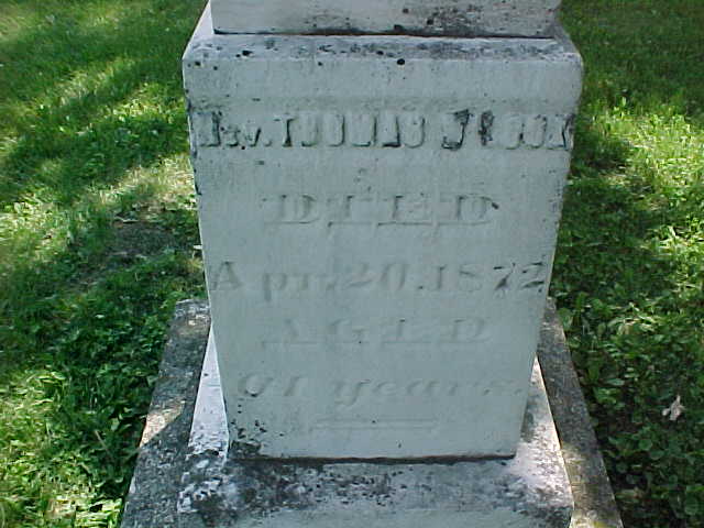
| Wilcox, Rev. Thomas |
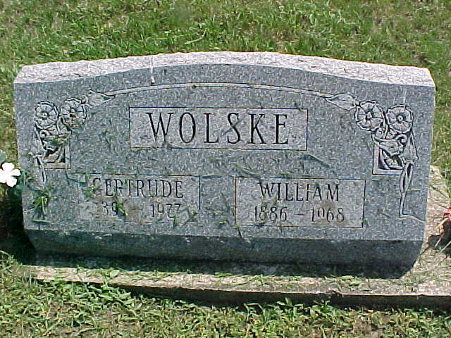
| Wolske, William and Gertrude |
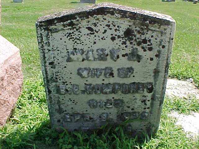
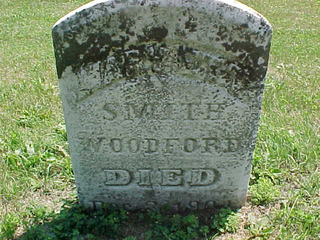
| Woodford, Mary Ann Smith |
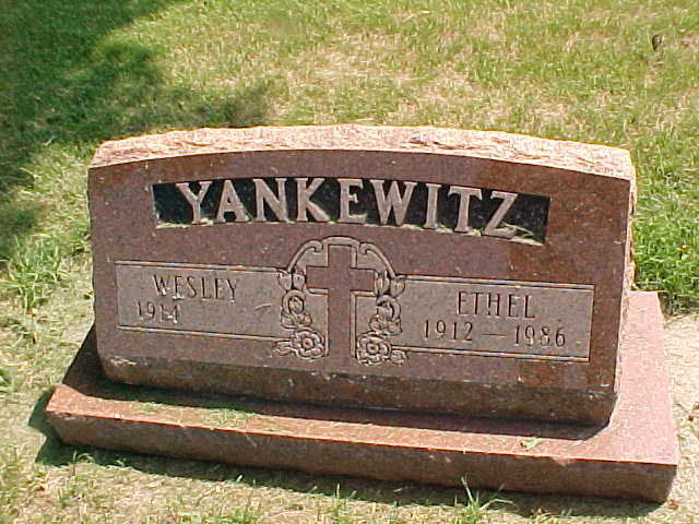
| Yankewitz, Wesley and Ethel |
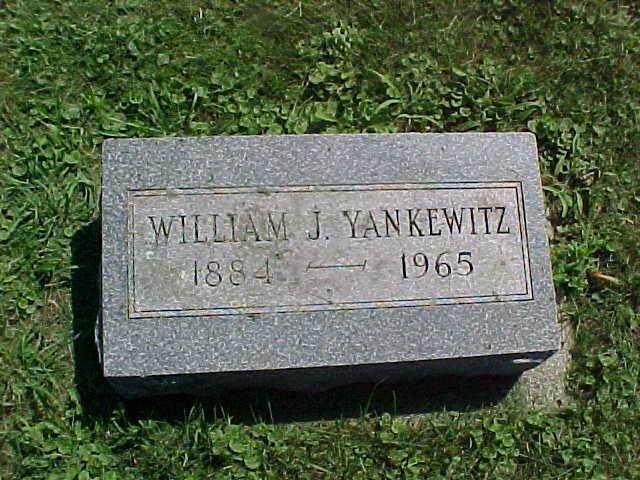
| Yankewitz, William J. |
| Zoephel, Lester |
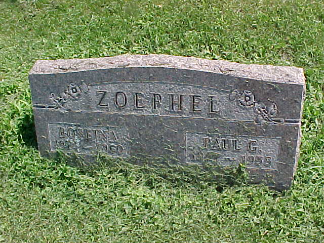
| Zoephel, Paul G. and Roslina |
| Visit the Walworth County, WIGenWeb Project Pages! |
Visit the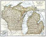 Map Project Wisconsin |
Visit the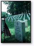 Tombstone Project Wisconsin |
Visit the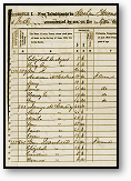 Census Project Wisconsin |
|
WISCONSIN MUNICIPALITIES: Cities Towns, and Villages, often
referred to as 'municipalities' in Wisconsin law, are the
governmental units that relate most directly to citizens'
everyday lives.
TOWNS, like counties, were created by the state to provide
basic municipal services. Rooted in New England and New York
tradition, town government came to Wisconsin with the
settlers, but Wisconsin towns were not like their Eastern
counterparts that reflected the existing patterns of local
settlement. In Wisconsin, towns are geographical subdivisions
of counties. Towns originally served (and for the most part
they continue to serve) rural areas. Towns govern those areas
of Wisconsin not included in the corporate boundaries of
cities and villages.
The difference between "township" and "town" often confuses
the public. In Wisconsin, "township' refers to the surveyor's
township which was laid out to identify land parcels within a
county. Theoretically. a township is a square tract of land,
measuring six miles on a side for a total of 36 square miles
in the unit. Each township is divided into 36 sections.
"Town", as the word is used in Wisconsin, denotes a specific
unit of government. It's boundaries may coincide with the
surveyor's township or it may look quite different. A Town may
include one, parts of or several townships.
CITIES and VILLAGES, often referred to as "incorportated
areas", govern territory where population is more
concentrated. In general, minimum population for incorporation
as a village is 150 residents for an isolated village and
2,500 for a metropolitan village located in a more densely
settled area. For cities, the minimums are 1,000 and 5,000
respectively. As cities and villages are incorporated, they
are carved out of the town territory and become independent
units no longer subject to the town's control. The remainder
of the town may take on a 'Swiss cheese" configuration as its
area is reduced. [Information above taken from "State of Wisconsin Blue Book 1997-1998"] |
 Copyright Notice: These generous
contributions do not necessarily depict all tombstone
photographs for a given cemetery. The source for many of
the cemetery names and placenames on these pages come from Cemetery
Locations in Wisconsin, 3rd edition, compiled by Linda M.
Herrick and Wendy K. Uncapher. The book is published by
Origins at 4327 Milton Ave. Janesville, WI 53546. All files
on this site are copyrighted by their creator and/or
contributor. They may be linked to but may not be reproduced
on another site without specific permission from Tina
Vickery [mailto:tsvickery@gmail.com]
and/or their contributor. Although public information is not in and of
itself copyrightable, the format in which they are presented, the
notes and comments, etc., are. It is however, quite permissable to
print or save the files to a personal computer for personal use ONLY. Copyright Notice: These generous
contributions do not necessarily depict all tombstone
photographs for a given cemetery. The source for many of
the cemetery names and placenames on these pages come from Cemetery
Locations in Wisconsin, 3rd edition, compiled by Linda M.
Herrick and Wendy K. Uncapher. The book is published by
Origins at 4327 Milton Ave. Janesville, WI 53546. All files
on this site are copyrighted by their creator and/or
contributor. They may be linked to but may not be reproduced
on another site without specific permission from Tina
Vickery [mailto:tsvickery@gmail.com]
and/or their contributor. Although public information is not in and of
itself copyrightable, the format in which they are presented, the
notes and comments, etc., are. It is however, quite permissable to
print or save the files to a personal computer for personal use ONLY. |