
Smith County
Cemetery Photographs
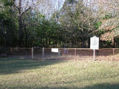
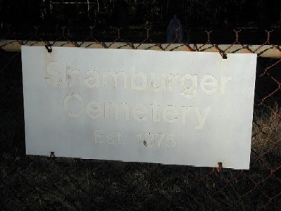
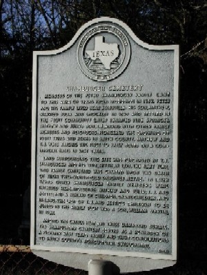
Shamburger Cemetery
Latitude: N 32:25:36.5
Longitude: W 095:16:01.4
Take US 271 northeast from Tyler to CR 334 & turn left (north). Continue one-
half mile past CR 329 (Ford Road) & the cemetery is on the left (west), about
50 feet off the road.
Located across the road from the old Shamburger home place, this cemetery
was established in 1875.
| Description Link |
Photo Link |
Date |
Submitter |
| Cemetery Gate |
Image |
|
Lawrence E. Oliver |
| Cemetery Sign |
Image |
|
Lawrence E. Oliver |
| Historical Monument |
Image |
|
Lawrence E. Oliver |
Copyright © 1997-present USGenWeb Project Archives