
Smith County
Cemetery Photographs
Green - Ellison Cemetery
Latitude: N 32:14:11.3
Longitude: W 095:05:54.4
From FM 345 in Omen, take CR 230 north 1 mile, turn right onto private
gravel road, travel east 0.4 mile, then turn left (north) up the hill along
unpaved pipeline right-of-way. Graves are at top of hill (about 120-150 yards),
on the right side, about 15 yards into the woods. Cemetery is on private
property & not accessible to the public.
There may be several unmarked graves.
| Description Link |
Photo Link |
Date |
Submitter |
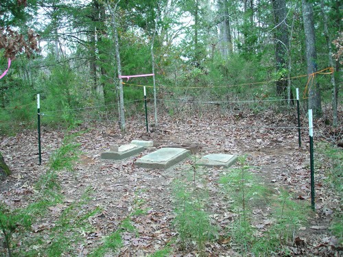
| Cemetery View |
Image |
|
Sam & Sherry Kidd |
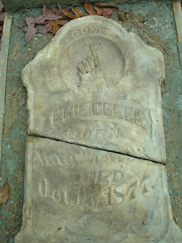
| Annie Green |
Image |
|
Sam & Sherry Kidd |
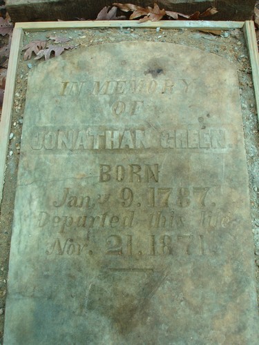
| Jonathan Green |
Image |
|
Sam & Sherry Kidd |
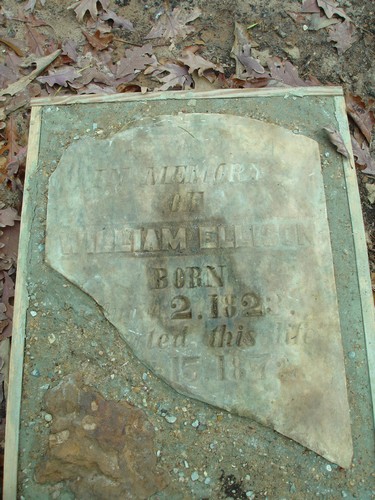
| William Ellison |
Image |
|
Sam & Sherry Kidd |
Copyright © 1997-present USGenWeb Project Archives