|
Do Scroll Down
Tennessee State Maps
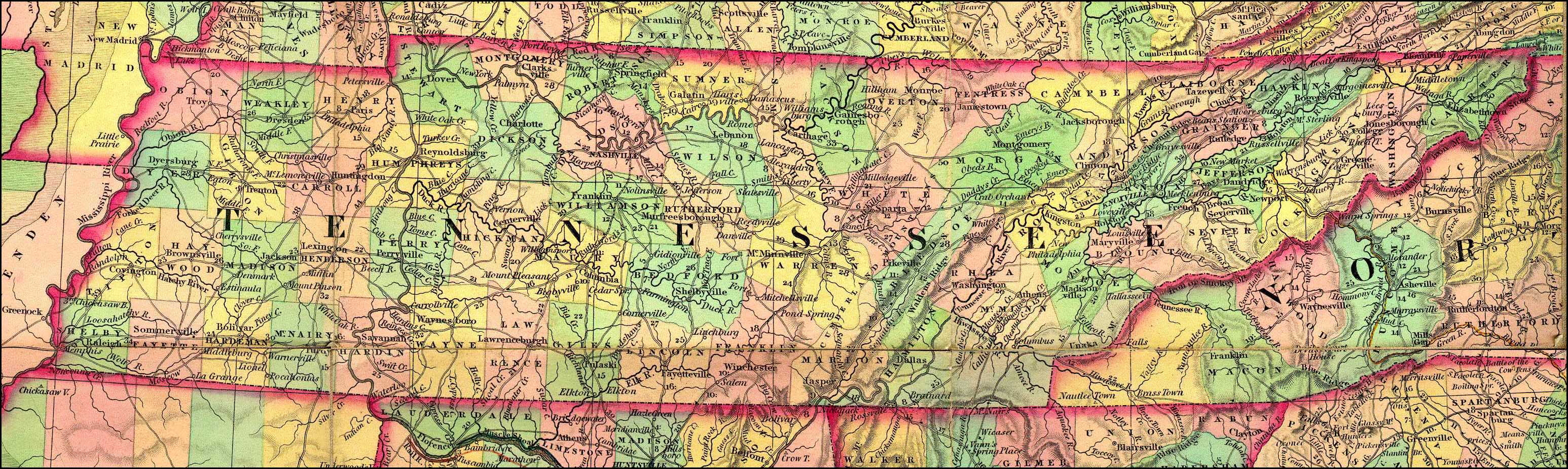
Tennessee, 913k.
A detail map extracted from Henry Schenck Tanner’s 1834 U. S. Map.
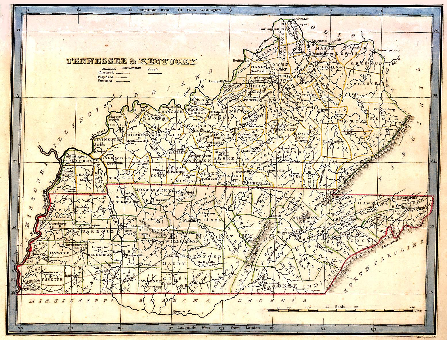
Tennessee and Kentucky, 606k.
Map from an 1835 atlas, published in Boston by Thomas Bradford.
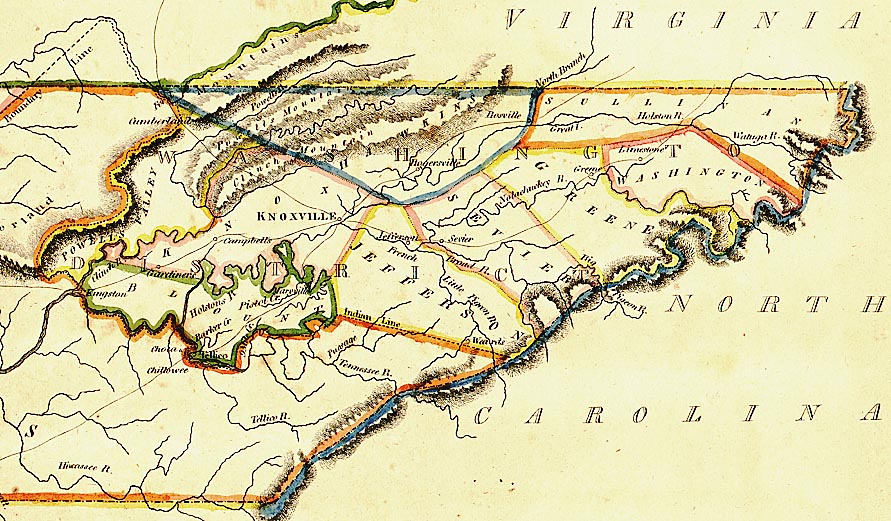
Detail of East Tennessee with pre-1796 County Lines, 189k.
From Mathew Carey's "General Atlas" - 1814.
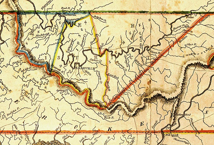
Detail of Middle Tennessee with pre-1796 County Lines, 191k.
From Mathew Carey's "General Atlas" - 1814.
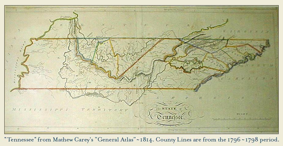
Tennessee Map with 1790's County Lines, 101k.
Scan of a not-very-good photograph. From Mathew Carey's "General Atlas" - 1814.
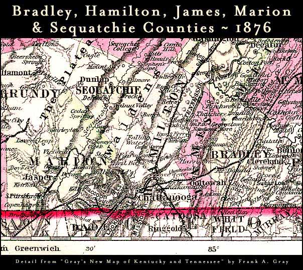
Bradley, Hamilton, James, Marion and Sequatchie Counties, 1876, 144k.
Detail from "Gray's New Map of Kentucky and Tennessee", by Frank A. Gray.
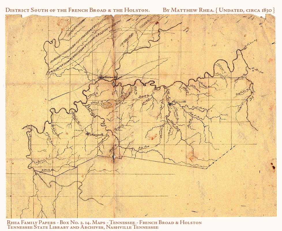
District South of the French Broad & Holston, ca 1830, 236k.
by Matthew Rhea.
Tennessee County Maps
Unfortunately, early Tennessee county maps can be as scarce as
hen’s teeth. So these little maps have been snipped from
large state, multi-state or even very large national maps. Please
be aware that these early maps may contain errors.
Map sources:
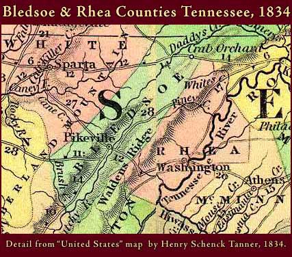
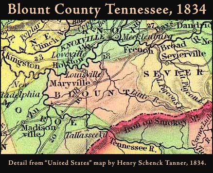
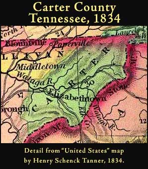
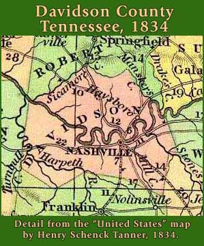
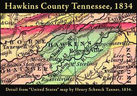
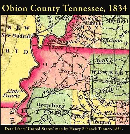
United States map by Henry Schenck Tanner, 1834.
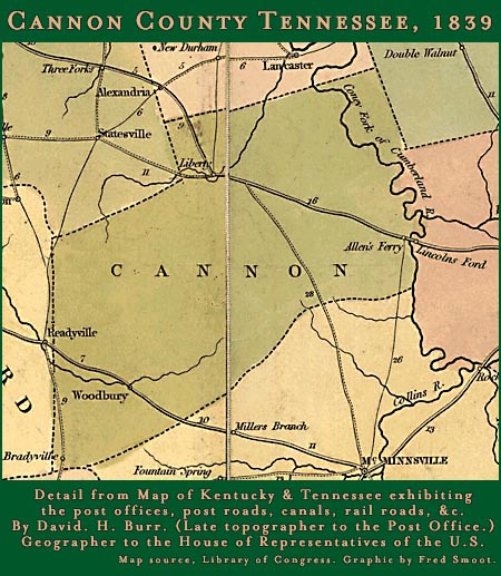
Kentucky and Tennessee map by David H. Burr, 1839.
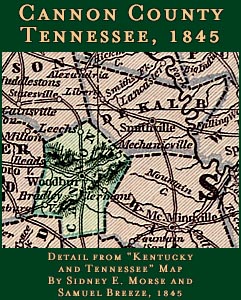
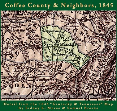
Kentucky and Tennessee map by Sidney E. Morse and Samuel Breeze, 1845.
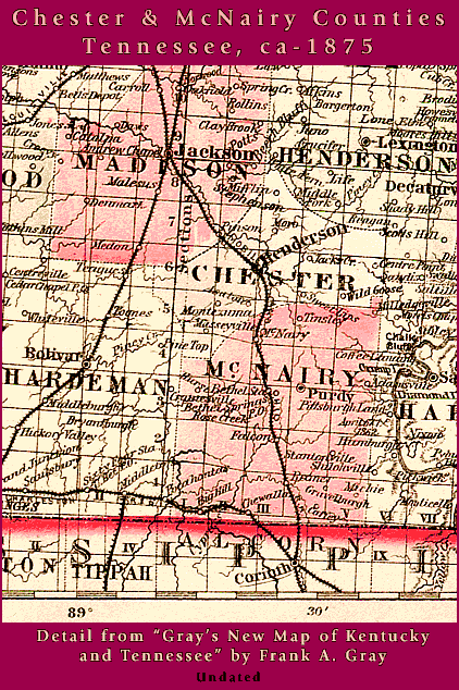
Gray’s New Map of Kentucky and Tennessee 1876, by Frank A. Gray.
Anderson
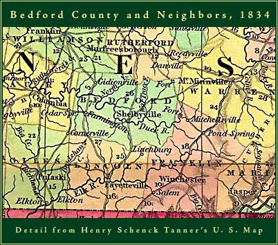
Bedford County and Neighbors, 1834
Benton
Bledsoe & Rhea Counties, 1834. 62k
Blount County, 1834
Bradley
Campbell
Cannon County, 1839
Cannon County, 1845
Carroll
Carter County, 1834
Cheatham
Chester and McNairy Counties, 1876, 98k
Claiborne
Clay
Cocke
Coffee County and Neighbors, 1845
Crockett
Cumberland
Davidson County, 1834
Decatur
Dekalb
Dickson
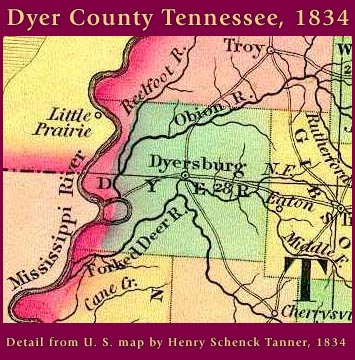
Dyer County, 1834. 52k
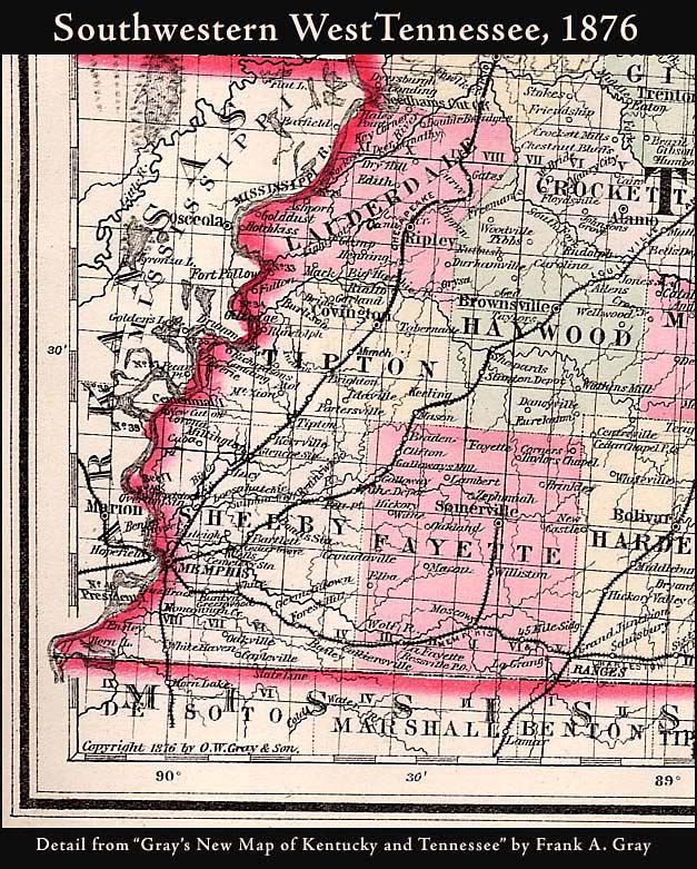
Fayette, Haywood, Lauderdale, Shelby, and Tipton Counties, 1876, 188k.
Fentress
Franklin
Gibson
Giles
Grainger
Greene
Grundy
Hamblen
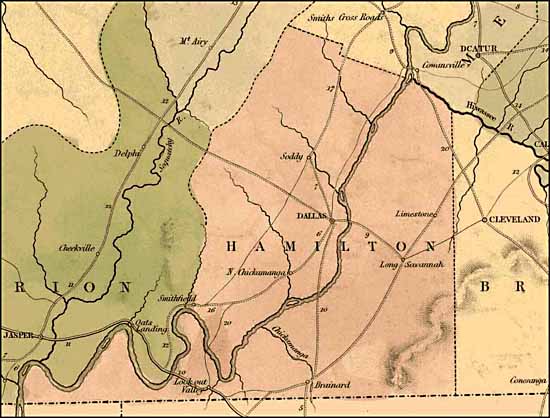
Hamilton County, 1839. 41k
Hancock
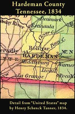
Hardeman County, 1834. 35k
Hardin
Hawkins County, 1834. 52k
Haywood
Henderson
Henry
Hickman
Houston
Humphreys
Jackson
James (defunct)
Jefferson
Johnson
Knox
Lake
Lauderdale
Lawrence
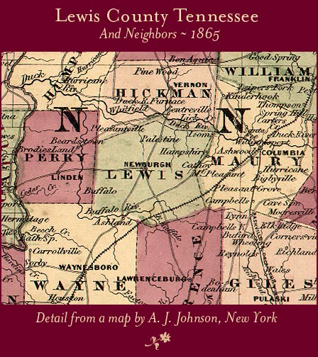
Lewis County and its neighbors, 1865,100k
Lincoln
Loudon
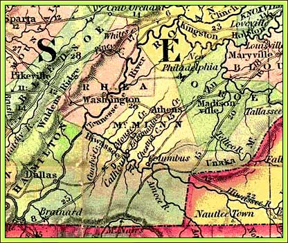
McMinn, Monroe and Rhea Counties area, with Cherokee
lands to the south. 1834.
Chester and McNairy Counties, 1876, 98k
Macon
Madison
Marion
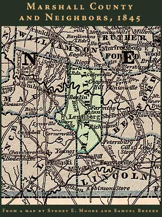
Marshall County and Neighbors, 1845
Maury
Meigs
Monroe
Montgomery
Moore
Morgan
Obion County, 1834
Overton
Perry
Pickett
Polk
Putnam
Bledsoe & Rhea Counties, 1834. 62k
Roane
Robertson
Rutherford
Scott
Sequatchie
Sevier
Shelby
Smith
Stewart
Sullivan
Sumner
Tipton
Trousdale
Unicoi
Union
Van Buren
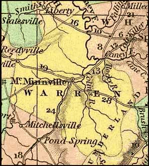
Warren County, 1834
Washington
Wayne
Weakley
White
Williamson
Wilson
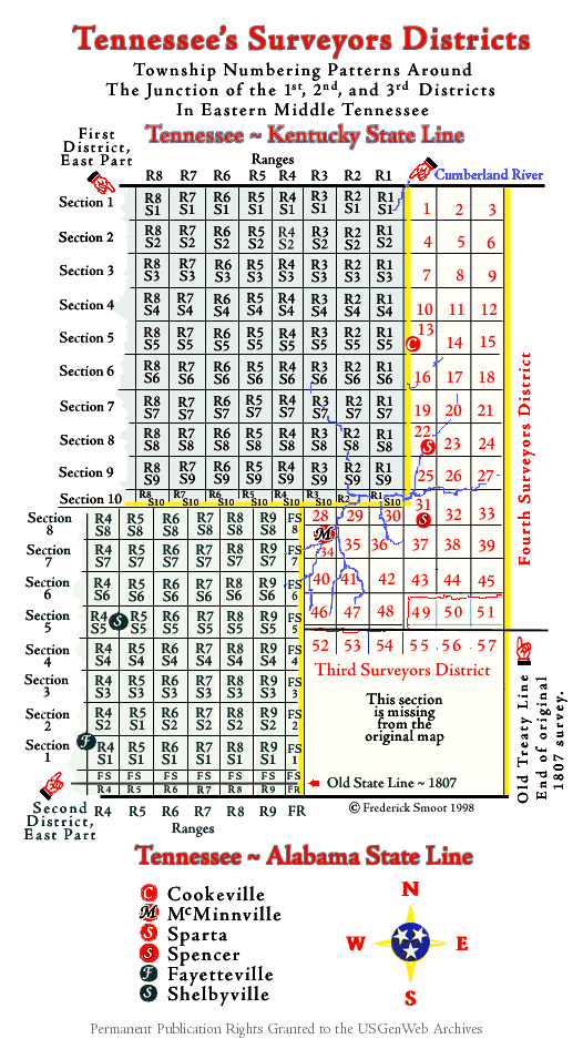
Tennessee’s Surveyors’ Districts
Maps
Tennessee’s Surveyors’ Districts, 46k
Township Numbering Patterns - Tennessee’s 1st, 2nd and 3rd Surveyors’ Districts, 73k
Mapping Tennessee’s 2nd Surveyors’ District, 64k
An Archival Map of Tennessee’s 3rd Surveyors’ District, 72k
Tennessee’s 12th and 13th Surveyors’ Districts, 250k
Please visit our Indian
There you will find links to three Tennessee maps showing Indian Land
     Cessions in Tennessee. (Numbers, 54, 55, and 56.)


USGenWeb Archives
Joy Fisher
Coordinator
Rebecca Maloney
Special Projects Representative


Copyright © 1999- USGenWeb Archives Project
This page was first posted
on:
6 May
1999
|
Last modification:
Sunday, 14-Nov-2021 18:33:25 EST
|

|
