
|
The USGenWeb Archives Digital Map Library
- Kansas State Maps
State Map Coordinator:

The
Kansas Digital Map Library
If you would like to be part of the Digital Map Library team and/or make contributions, please e-mail me,
Rebecca Maloney. Your contributions are both needed and appreciated!
Kansas State Maps
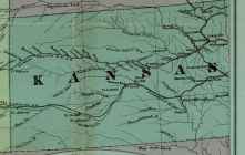
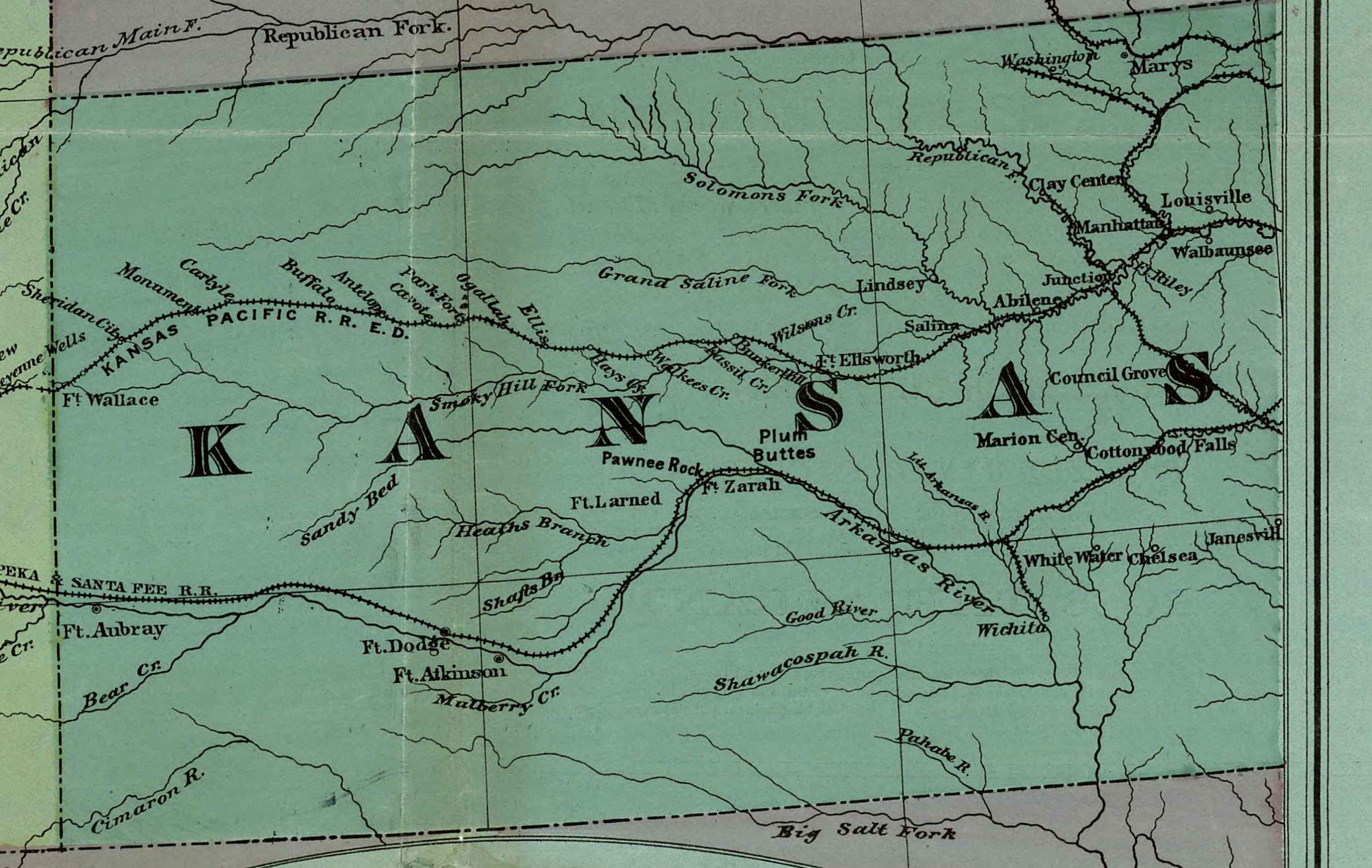
Kansas 1877
From the Tans - Continental Map of the Pacific Rail Road
By Henry T. Williams 1877.
Scan courtesy of Library of Congress,
American Memory website.
This is a public domain map. This large map of Kansas was converted
from a Mr Sid (.sid) formatted file. We have cut the Kansas part of the map out scan into
and greatly reduced the file size by JEPG compression.
You may save on to a new 3.5" floppy disk.
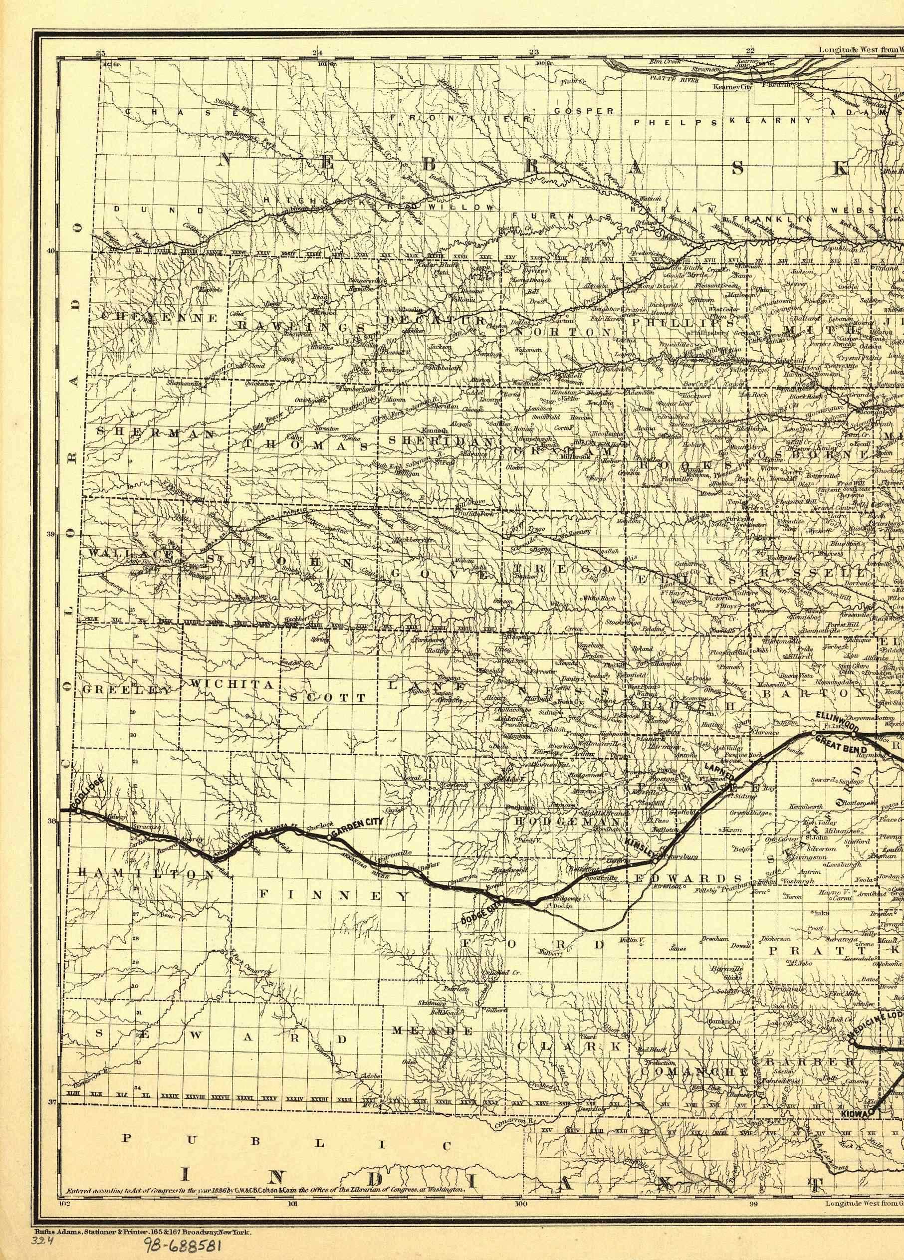
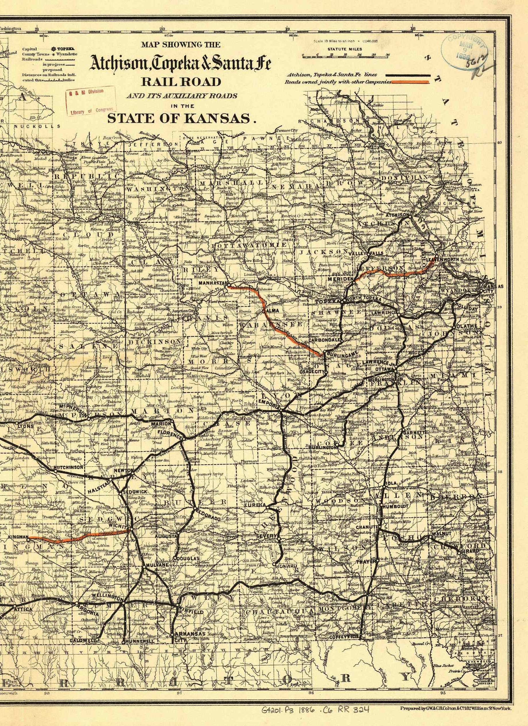
Kansas 1886
From the Atchison, Topeka & Santa F� Rail Road and its auxiliary roads in the state of Kansas.
By G.W. & C.B. Colton & Co. New York, 1886.
New!
Scan courtesy of Library of Congress,
American Memory website.
This is a public domain map. This large map of Kansas was converted
from a Mr Sid (.sid) formatted file. We have cut the map into two sections
and greatly reduced the file size by JEPG compression.
You may save each on to a new 3.5" floppy disk.
Each Map is 822 KB in size.
Kansas County Maps
Coming Soon!
Kansas City Maps
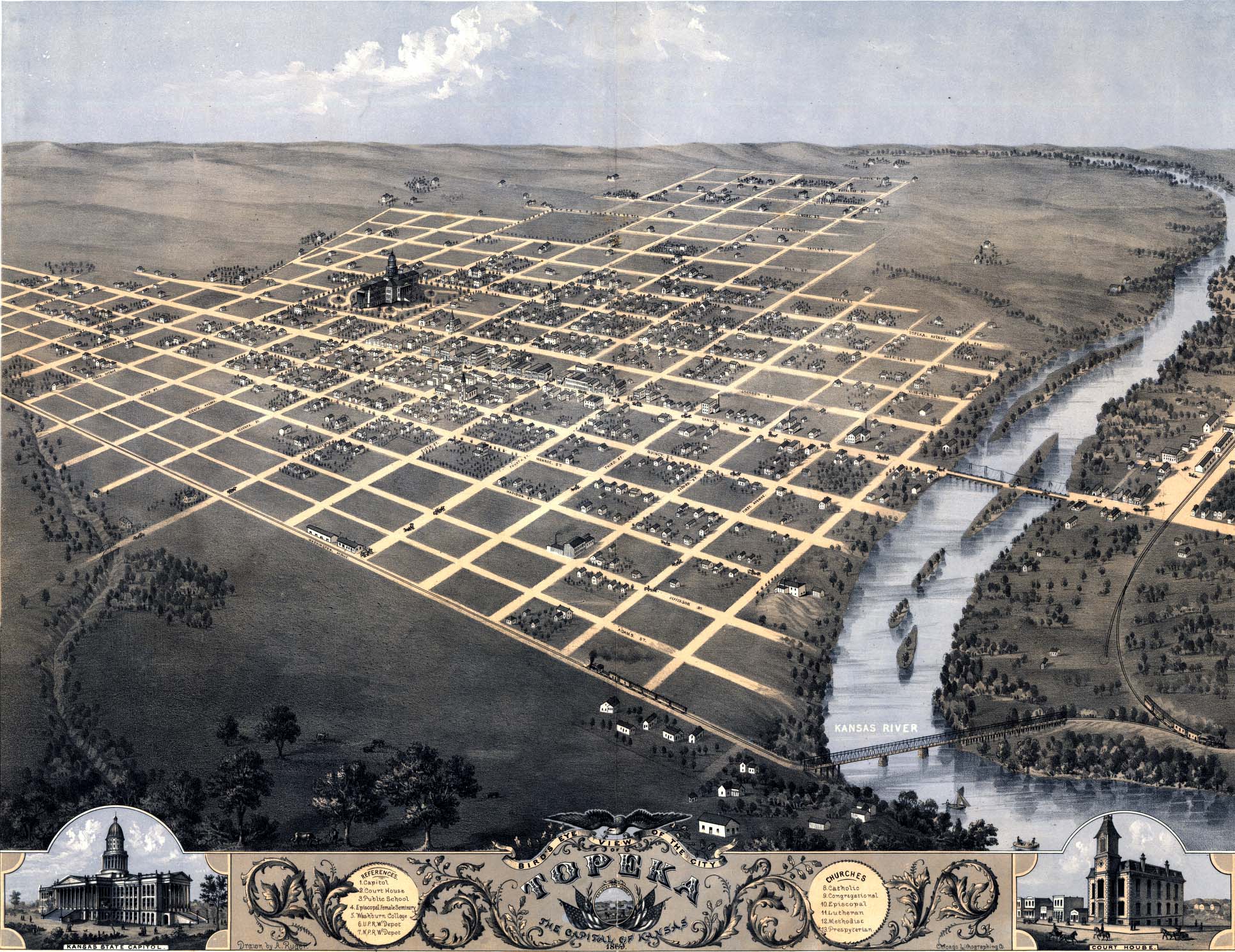
Topeka,
"Bird's Eye View of the City of Topeka, The Capital of Kansas" 1869, Drawn by A. Ruger, printed by
Chicago Lithographing Co.; submitted by Joy Fisher

|
Other Kansas Links
|

|
-
This page was last updated Sunday, 31-Oct-2021 19:31:38 EDT
Copyright © 1999- USGenWeb Archives Project
|
