The
Iowa Digital Map Library
If you would like to be part of the Digital Map Library team and/or make contributions, please e-mail me,
Rebecca Maloney.
Your contributions are both needed and appreciated!
Iowa State Maps
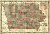
Iowa, Western Half, 1856, 1365kb.
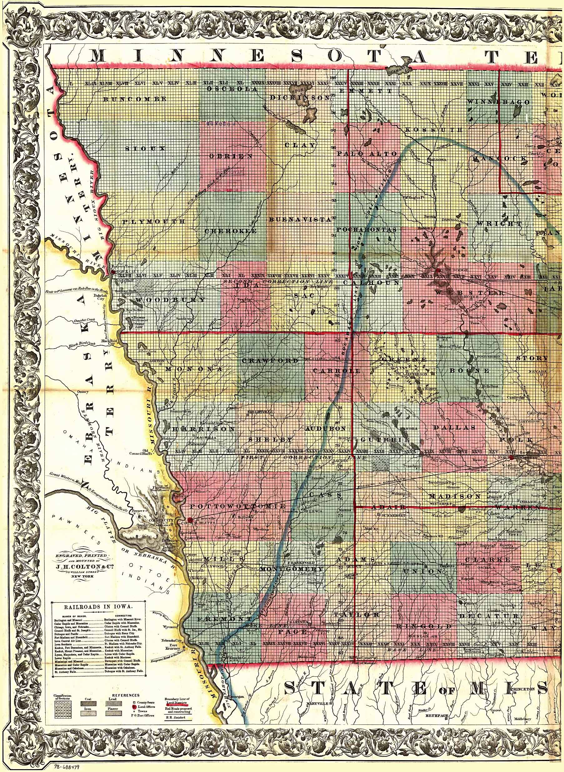
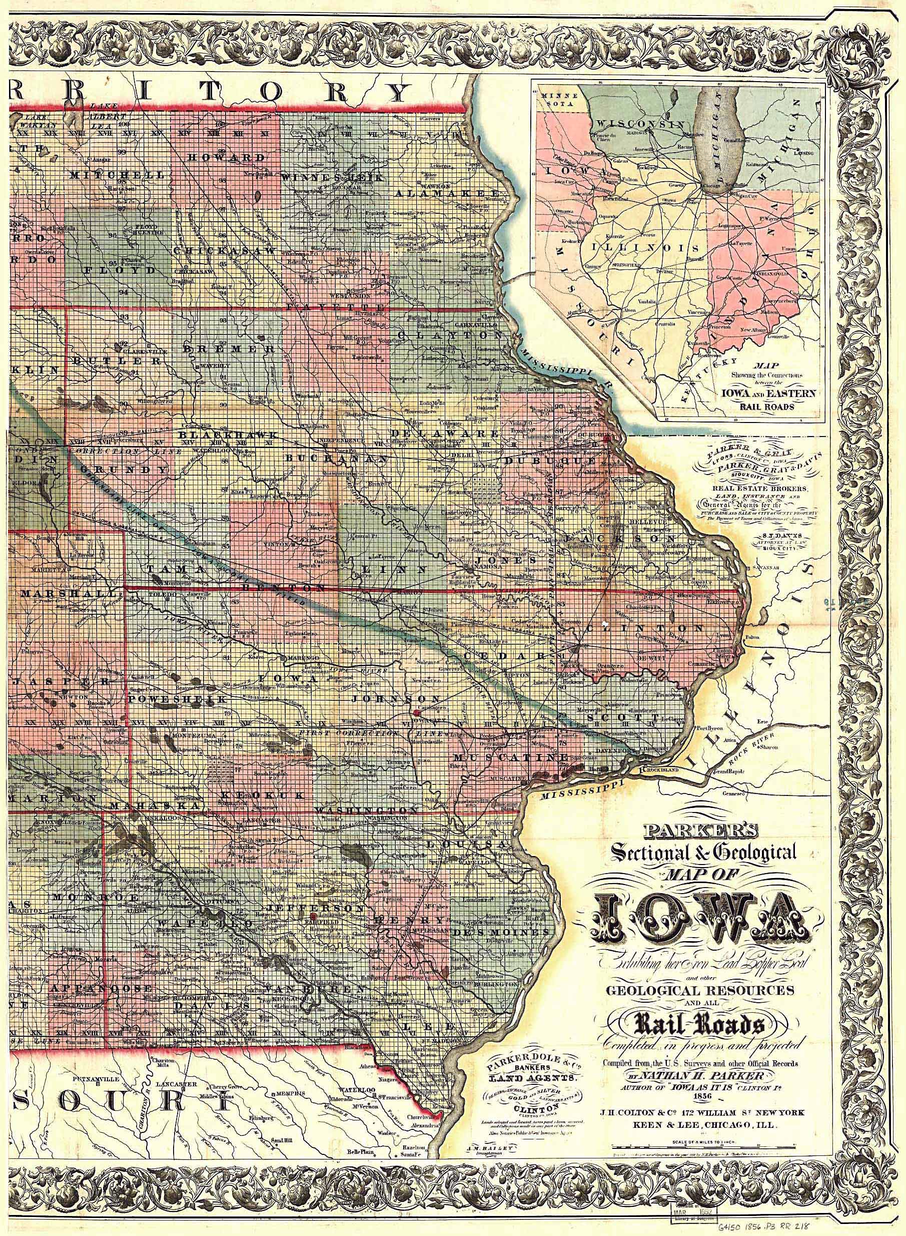
Iowa, Eastern Half, 1856, 1374kb.
Parker’s Sectional & Geological Map of Iowa
By Nathan H. Parker author of “Iowa As It Is,” Clinton Iowa.
1856.
Scan courtesy of Library of Congress,
American Memory website.
This is a public domain map. This large map of Iowa was converted
from a 14,834k Mr Sid (.sid) formatted file. We have split the scan into
two
parts and greatly reduced the file size by JEPG compression.
You may save each half on two new 3.5" floppy disks.
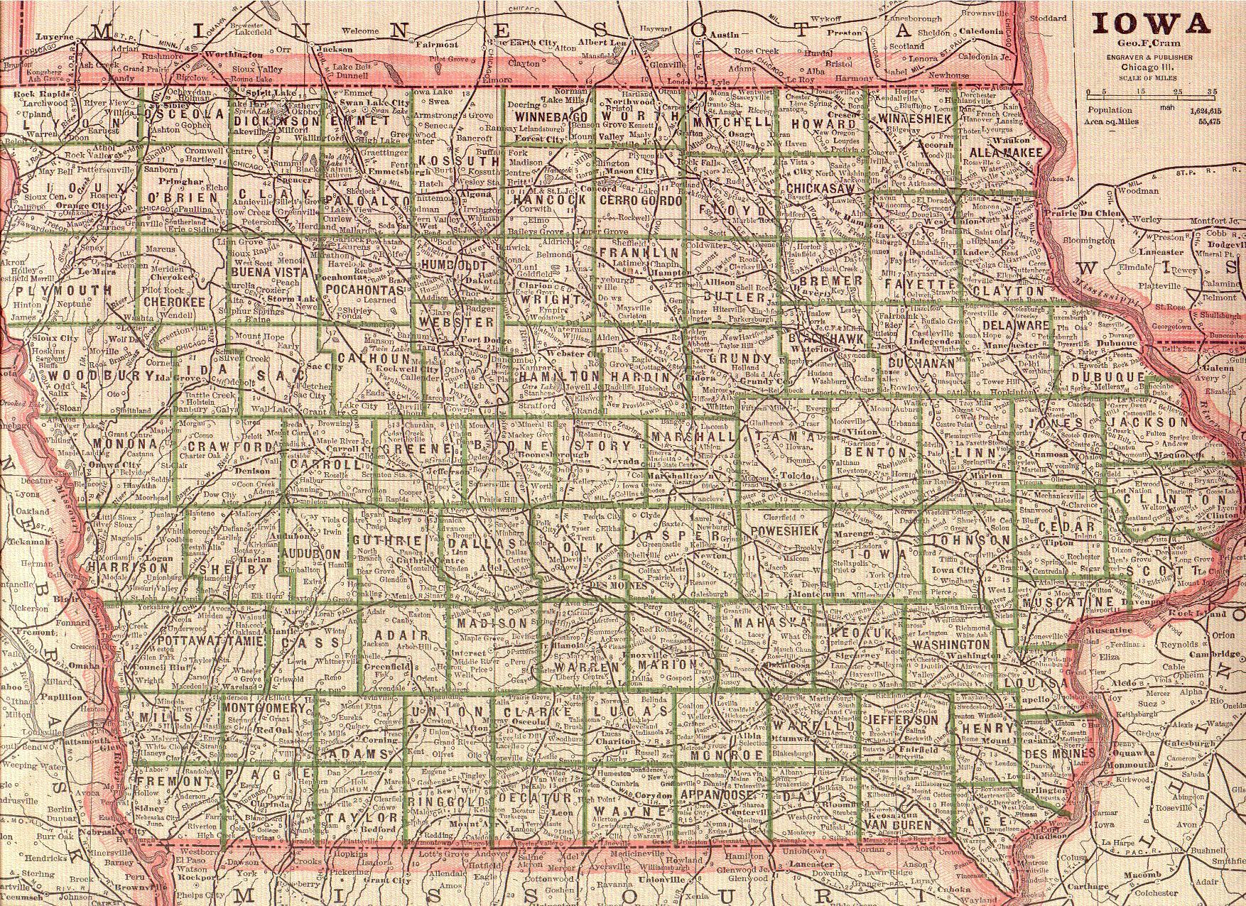
Iowa 1883 -921 KB
By: Geo. F. Cram, Engraver and Publisher. Chicago ILL.
Scan courtesy of Mary Ann Hetrick
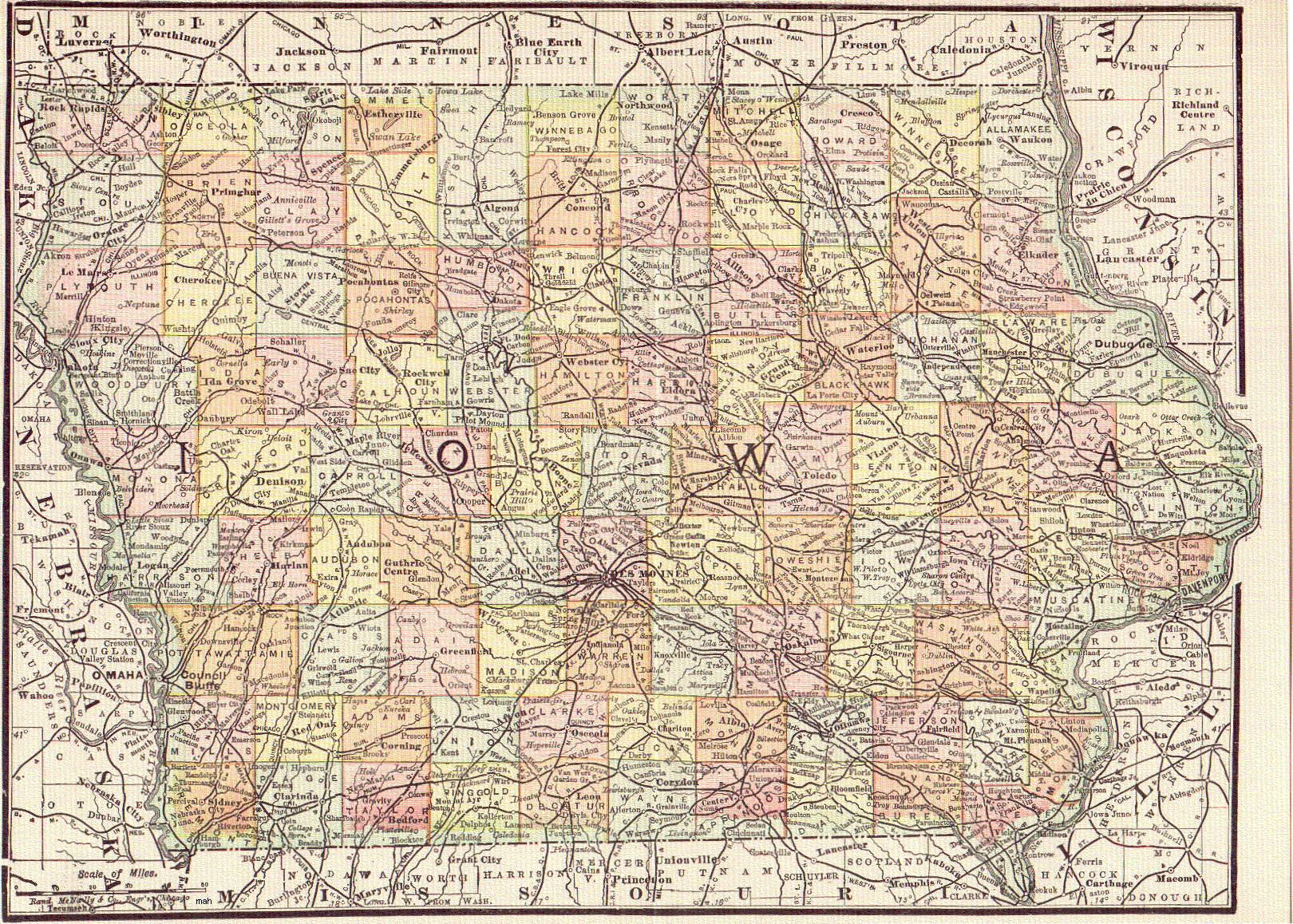
Iowa 1893 -784 KB
By Rand McNally & Co., Engravers, Chicago.
Scan courtesy of Mary Ann Hetrick
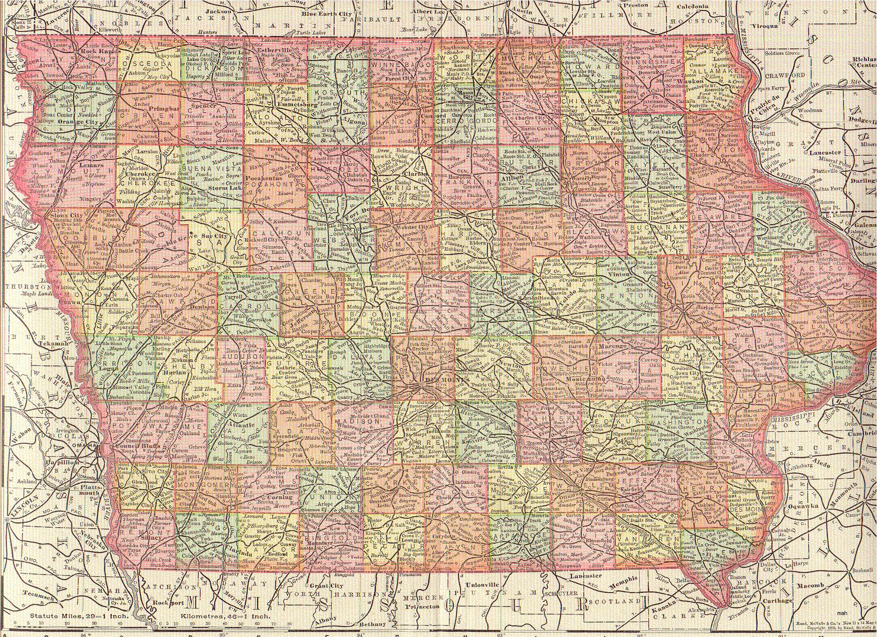
Iowa 1895 - 1.03 MB
By Rand McNally & Co., Engravers, Chicago.
Scan courtesy of Mary Ann Hetrick
Iowa County Maps
Greene County 1959 Atlas
Scan courtesy of Joy Fisher
This atlas was published in 1959 by the Bee and Herald
It includes some Township maps as well.
Pochantas County 1953 Atlas
Scan Courtesy of Joy Fisher
Includes Township maps as well.


