|
|
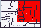
This map is the surviving portion of a large black and white Colorado (classroom?) map dated about 1905 - 1910. The title and credits didn't survive so the printer is unknown.The portion of Colorado covered by the map is shown by the red area in the logo at the top of this page. I scanned the map to produce the following images. Area Maps
County Maps (JPEG)
Return to Colorado Map Index This page is maintained by Maggie Stewart, email comaps@ev1.net |